7-Day Marine Forecast Gulfport MS: Boater's Guide
Whether you are running a skiff along the marsh edges, taking a ferry out to Ship Island, or heading offshore past the continental shelf for pelagic gamefish, checking an accurate 7 day marine forecast for Gulfport, MS is essential. Extended marine weather in the northern Gulf of Mexico can change rapidly, transitioning from glassy, slick water to tight, bone-jarring chop in a matter of hours.

Understanding the unique maritime geography of Gulfport and the Mississippi Sound ensures you do not just read the numbers on a forecast model—you understand what those numbers mean for your hull, your crew, and your safety.
Understanding Marine Zones Around Gulfport, MS
When reviewing marine forecast data issued by the National Weather Service (NWS New Orleans/Baton Rouge forecast office, which covers coastal Mississippi), Gulfport’s waters are divided into distinct zones. Knowing which zone you intend to traverse is critical:
- Mississippi Sound (Zone GMZ532): Enclosed by Cat Island, West Ship Island, and East Ship Island to the south and the mainland to the north. This shallow body of water averages only 10 to 12 feet deep, meaning wind generates steep, short-period chop quickly.
- Coastal Waters from Pascagoula to Stakes Island out 20 NM (Zone GMZ552): Once you pass through Ship Island Pass or Horn Island Cut into open water, you encounter true Gulf swells mixed with local wind waves.
- Offshore Waters (20 to 60 NM out, Zone GMZ572): Deepwater territory where open-ocean fetch, loop current eddies, and sudden squalls dictate offshore runs toward blue water and deep drop reefs.
How to Read a 7 Day Marine Forecast for Gulfport, MS
An extended 7-day outlook provides a high-level picture of advancing synoptic weather systems. As your trip approaches, day-to-day variables will sharpen. Here are the core metrics every Gulfport boater must evaluate.
Wind Speed, Direction, and the Sound Effect
In the Mississippi Sound, wind direction is often more critical than wind speed. Because the Sound is shallow and bounded, certain winds create far rougher conditions:
- South to Southeast winds: Blow open Gulf water directly against the barrier islands and through the cuts. This produces significant chop and pushes higher-than-normal water levels against the Gulfport shoreline.
- North winds: Common after winter cold fronts. While the mainland provides a brief "lee" (calmer water) within the first mile off Gulfport Beach, a strong northern blast stacks water up on the north shores of Ship and Cat islands and rapidly blows water out of local bays and bayous.
- West/Southwest winds: Create extended fetch straight down the length of the Mississippi Sound, building tightly spaced waves that challenge small craft.
Wave Height vs. Wave Period
Never look at wave height in isolation. A forecast of 3 feet at 8 seconds represents a gentle, rolling swell that most vessels can comfortably cruise through. Conversely, 3 feet at 3 seconds in the Mississippi Sound creates a vicious, square-front chop that will slam center consoles and drench cockpits.
As a rule of thumb for comfortable navigation in local waters, look for a wave period (in seconds) that is at least double the wave height (in feet).
Tidal Cycles and Current at the Passes
The Gulf Coast experiences primarily diurnal tides (one high and one low tide per lunar day), with occasional semi-diurnal periods depending on the moon's declination. While the average tidal swing in Gulfport is modest (around 1.5 to 2.0 feet), the volume of water funneling through narrow gaps like Ship Island Pass creates swift currents.
When a falling tide pushes water south out of the sound directly into a stiff south-southeast wind, the resulting "wind-against-tide" collision creates stacked, breakers-style waves in the passes. Time your passages through these cuts near slack water whenever high winds are forecasted.
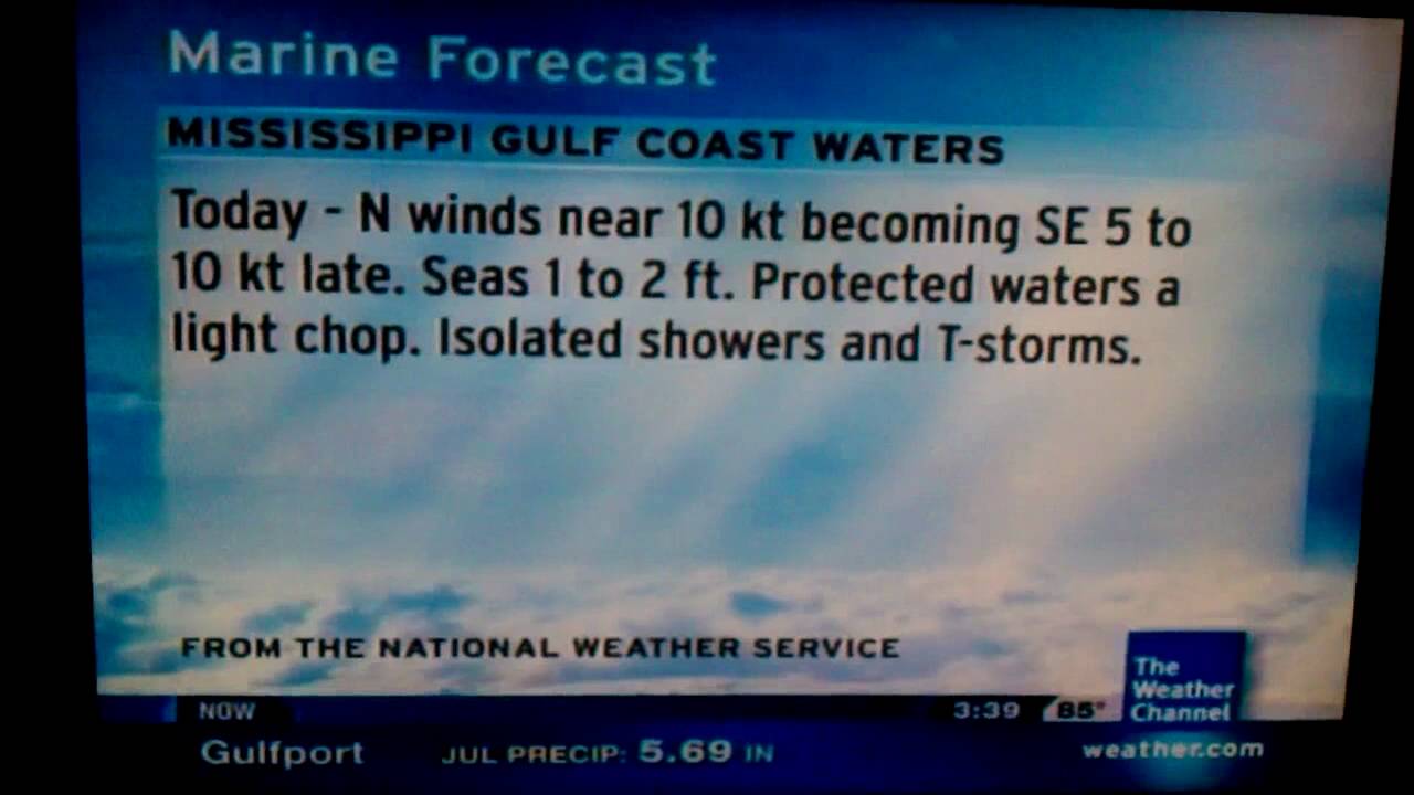
Video: Gulfport, MS: 7:30 a.m. Isaias update
Seasonal Weather Patterns Affecting Gulfport Waters
Your interpretation of a 7-day forecast must account for the season, as Gulfport experiences distinct weather drivers throughout the year.
Spring: Sea Fog and Rapid Fronts
From late February through April, warm, moist air from the deep Gulf rides northward over the cooler, shallow waters of the Mississippi Sound. This produces dense advection fog that can drop visibility to near zero in minutes. Even if the 7-day marine forecast predicts light winds and low seas, monitor maritime visibility advisories and ensure your radar and navigation lights are fully functional.
Summer: The Bermuda High and Afternoon Convection
Summer brings long stretches of light winds dominated by the subtropical Bermuda High. While extended forecasts often look serene with 1- to 2-foot seas, the primary hazard is localized convective thunderstorms.
By early afternoon, intense heating over the pine belt north of I-10 clashes with the marine air, establishing a sea-breeze front. Isolated storms frequently produce sudden 35- to 50-knot microbursts, dangerous cloud-to-water lightning, and water spouts. When planning summer outings, aim for early morning departures and plan to be off open water or tucked behind protected barrier island anchorages by 1:00 PM.
Fall and Winter: The Arrival of "Northers"
From October through March, maritime weather is dictated by polar cold fronts sweeping southeast across North America. A typical winter front cycle follows a distinct pattern:
- 48–72 hours prior: Barometric pressure drops; winds shift to the south-southeast and steadily increase, building seas outside the islands.
- Frontal passage: A squall line of rain and sharp wind shifts passes through.
- Post-front: High pressure builds, bringing gale-force or near-gale-force northerly winds, plummeting temperatures, and significant water dropouts (negative tides) that can leave boats stranded on shallow flats.
Key Observation Stations and Forecast Tools
To verify the accuracy of a 7-day marine forecast, track real-time observations against the model predictions as your departure date nears. Key local data buoys and stations include:
- NOAA Station GPTM1 (Gulfport Harbor): Provides real-time water levels, air temperature, wind speed, gusts, and barometric pressure inside the port basin.
- NDBC Buoy 42007 (22 NM South-Southeast of Gulfport): Located in open Gulf water between Biloxi and the Chandeleur Islands. This is the single best offshore indicator for genuine wave heights, wave steepness, and open-water swell periods.
- Ship Island Pier (USGS/NPS): Helpful for gauging conditions right at the barrier island interface before crossing into open water.
Planning Your Voyage: A 7-Day Checklist
To minimize risk, adopt a progressive approach to evaluating the marine outlook:
- Days 7 to 5: Look at broad synoptic models (GFS, ECMWF). Watch for major cold front passages, tropical waves, or sustained high-pressure ridges. Treat this window as a general "go/no-go" guideline.
- Days 4 to 3: Transition to specialized marine models (such as WaveWatch III and high-resolution NWS marine discussions). Check predicted wind directions and wave periods to decide whether to plan an offshore trip or remain in protected inshore waters.
- Days 2 to 1: Consult the National Weather Service Coastal Waters Forecast (CWF). Check for Small Craft Advisories, Gale Watches, or Special Marine Warnings. Review hourly wind trends.
- Day of Departure: Check real-time observations from Buoy 42007 and Gulfport Harbor (Station GPTM1). Review live Doppler radar for morning pop-up showers or fog banks before casting off lines.
By pairing reliable forecast data with an understanding of local geography and tidal hydrology, you can maximize your time on the water around Gulfport while keeping your vessel and passengers safe.


