A Guide to DuPage County Tax Maps & Property Data
Navigating property records in Illinois can feel overwhelming, but understanding how to access and interpret DuPage County tax maps makes the process much simpler. Whether you are a homeowner preparing a property appeal, a real estate investor analyzing a potential purchase, or a genealogist researching local history, official county mapping tools provide critical spatial and financial data.
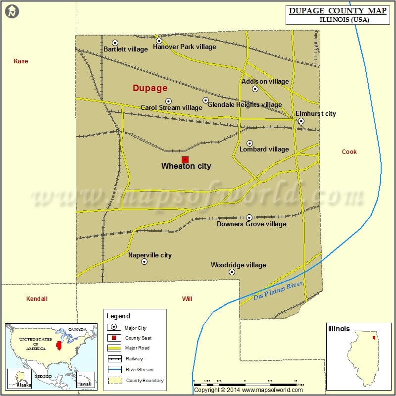
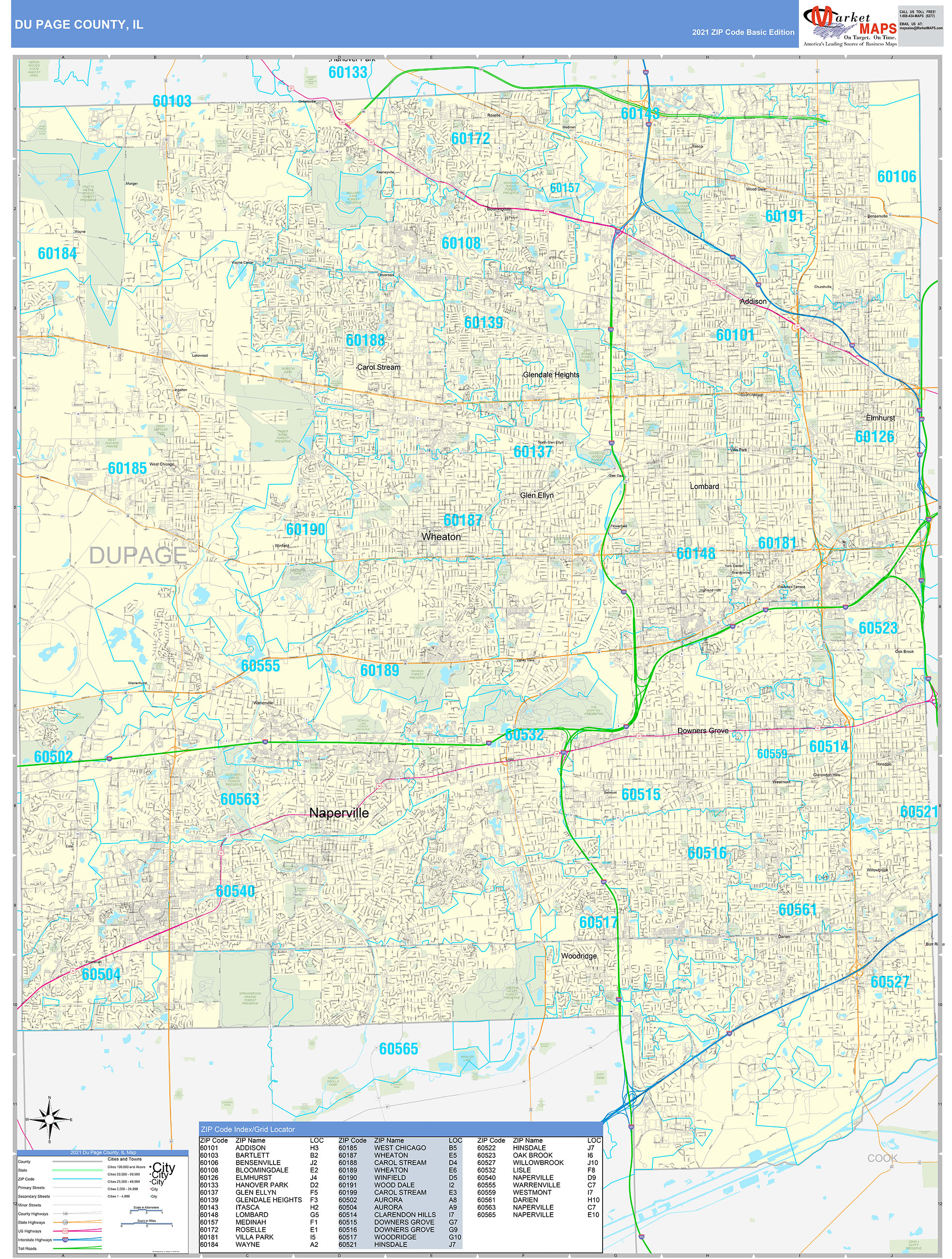
DuPage County, located just west of Chicago, maintains robust digital mapping and assessment systems. This guide explains where to find these maps, how to read them, and how to use them effectively for your property research needs.
Understanding DuPage County Tax Maps and Parcel Data
Tax maps—often referred to as parcel maps or plat maps—are visual representations of real estate boundaries within the county. Every single piece of land in DuPage County is assigned a unique identifier known as a Parcel Identification Number (PIN). Tax maps display these PINs alongside lot lines, dimensions, and sometimes easements or right-of-ways.
These maps are maintained collaboratively by the DuPage County Supervisor of Assessments and the GIS (Geographic Information Systems) department. While historical paper maps still exist in municipal archives, modern users rely almost exclusively on online portals for up-to-date spatial information.
How to Access DuPage County Property Maps Online
The easiest way to view DuPage County tax maps is through the official county web portals. The county provides free public access to digital mapping tools that combine aerial photography with survey data.
1. The DuPage County GIS Web Map
The primary tool for viewing property boundaries is the county's interactive GIS mapping application. This platform allows users to:
- Search for properties by address, owner name, or 10-digit Parcel Identification Number (PIN).
- Overlay aerial imagery from various years to observe changes in land use over time.
- View municipal boundaries, school districts, zoning classifications, and flood zones.
- Measure distances and lot sizes directly on the screen using digital drawing tools.
2. The DuPage County Parcel Inquiry System
Video: Cook County launches free tax map viewer

If you need the financial data associated with a specific tax map, the DuPage County Treasurer and Supervisor of Assessments websites provide a searchable property lookup tool. By entering a PIN, you can pull up:
- Current and historical equalized assessed valuations (EAV).
- A breakdown of property tax bills and payment histories.
- Exemptions applied to the property (such as senior citizen or homestead exemptions).
- Legal descriptions matching the tax map boundaries.
How to Read a DuPage County Parcel Map
Reading a tax map requires understanding a few standard cartographic conventions used by county surveyors and cartographers. When you pull up a parcel on the DuPage County GIS portal, you will typically see several key elements:
- Parcel Identification Number (PIN): Usually formatted as a series of digits separated by hyphens (e.g., XX-XX-XXX-XXX-XXXX). Each segment designates the township, section, block, and individual lot.
- Dimensions and Acreage: Lot lines are annotated with footages, and total acreage is often calculated automatically within the database.
- Subdivision Names: Recorded plats will display the official subdivision name, lot number, and block number rather than a street address.
If you encounter discrepancies between physical fences and the lines shown on the tax map, remember that tax maps are created for assessment and taxation purposes, not as definitive legal boundary surveys. For exact property lines, a licensed land surveyor must perform an on-site boundary survey.
Common Uses for DuPage County Property Records
Citizens access these public records for a variety of practical reasons:
- Property Tax Appeals: Homeowners often review surrounding tax maps and comparable parcel assessments to build a case for lowering their property tax assessments.
- Real Estate Due Diligence: Buyers and developers check zoning overlays, easements, and historical tax rates before acquiring land.
- Home Improvement Projects: Contractors and homeowners check setback requirements and property lines before applying for local building permits.
Tips for Efficient Searching
To get the most accurate results when navigating DuPage County property databases, keep these best practices in mind:
- Keep your PIN handy: Street addresses can sometimes be ambiguous or formatted differently in municipal databases. The 10-digit PIN is infallible.
- Check update frequency: While GIS maps are updated regularly, newly split or consolidated lots may take a few weeks to reflect in the digital database.
- Contact county offices: If you run into technical issues or need certified copies of historical plat maps, the DuPage County Clerk or Recorder of Deeds office can assist you in person or over the phone.
By leveraging the digital tools provided by DuPage County, you can quickly uncover detailed boundary layouts, assessment values, and ownership histories for any parcel in the region.