Abington PA Weather Radar: Live Storm Tracking Guide
When fast-moving storms roll across Montgomery County, having reliable access to an abington pa weather radar feed can mean the difference between getting caught in flash flooding along Route 611 and making it home safely. Abington Township occupies an active meteorological corridor in southeastern Pennsylvania, where Appalachian terrain effects meet coastal moisture from the Atlantic. Whether you are navigating heavy winter snow squalls or sudden summer downpours, knowing how to find and interpret local radar data is essential.
Which Doppler Radar Covers Abington, PA?
When you pull up a weather app in Abington, your device typically draws data from one of two primary National Weather Service (NWS) installations:
- KDIX (NWS Mount Holly / Fort Dix, NJ): Located roughly 35 miles southeast of Abington in Burlington County, New Jersey, this is the primary WSR-88D NEXRAD radar site serving the greater Philadelphia metropolitan area. Its dual-polarization beam provides comprehensive, long-range scans of precipitation intensity, storm structure, and atmospheric velocity.
- TPHL (Philadelphia International Airport TDWR): Terminal Doppler Weather Radar sits closer to the Delaware River. While it has a shorter range than KDIX, TPHL operates at a higher frequency and scans closer to the ground, making it exceptional for detecting low-level wind shear, microbursts, and rapid storm development right over the northern Philadelphia suburbs.
Because Abington sits on slightly elevated Piedmont terrain compared to downtown Philadelphia, the KDIX radar beam shoots relatively low over the township, giving meteorologists and residents clear, unobstructed views of approaching storm cells without major beam blockage.
How to Read the Abington PA Weather Radar Like a Pro
Modern weather applications provide far more than just green, yellow, and red precipitation blobs. To understand what is actually heading toward neighborhoods like Glenside, Roslyn, or Meadowbrook, look for these specific radar products:
Base Reflectivity vs. Composite Reflectivity
Base reflectivity shows precipitation detected by the radar's lowest tilt angle (closest to the ground). This is the best view for knowing what is falling from the sky right now over your home. Composite reflectivity, on the other hand, displays the maximum echo intensity found in any elevation tilt. If composite reflectivity looks intense but base reflectivity is clear, it means moisture or hail is suspended aloft and may drop suddenly as a downdraft.
Radial Velocity
Velocity feeds show the speed and direction of wind relative to the radar site (typically green for air moving toward the radar, red for air moving away). When bright green and bright red colors touch side by side, meteorologists identify "couplets"—a sign of storm rotation that could spawn a funnel cloud or tornado.
Correlation Coefficient (CC)
A dual-pol radar feature, CC measures how uniform atmospheric targets are. Raindrops and snowflakes produce very high CC values (near 1.0). If you see a sudden drop in CC inside a rotating storm, it often indicates a "debris ball"—a strong signal that a tornado is on the ground lofting non-meteorological material into the sky.
Seasonal Weather Patterns in Montgomery County
Abington experiences four distinct seasons, each presenting unique challenges that show up differently on local radar:
Summer Thunderstorms and Flash Floods
From late May through August, intense convective thunderstorms often fire along sea-breeze boundaries or cold fronts advancing from central Pennsylvania. Because the township sits across the upper reaches of the Pennypack Creek and Sandy Run watersheds, slow-moving storms can drop 2 to 3 inches of rain in under an hour. These "training" storms—where multiple cells pass over the exact same footprint like boxcars on a train track—frequently trigger rapid street flooding along Old York Road (Route 611), Susquehanna Road, and Keswick Avenue.
Winter Nor'easters and the Rain-Snow Line
Winter radar in Abington is notoriously tricky. Major coastal lows (Nor'easters) push warmer maritime air inland from the Atlantic, creating sharp precipitation boundaries. Often, areas 15 miles northwest in Bucks or upper Montgomery County stay solid snow, while central Philadelphia sees plain rain. Abington often sits directly inside the transition zone, where sleet and freezing rain mix with heavy, wet snow. Monitoring radar correlation coefficients helps identify melting layers aloft before ground temperatures change.
Spring Squall Lines and Severe Wind
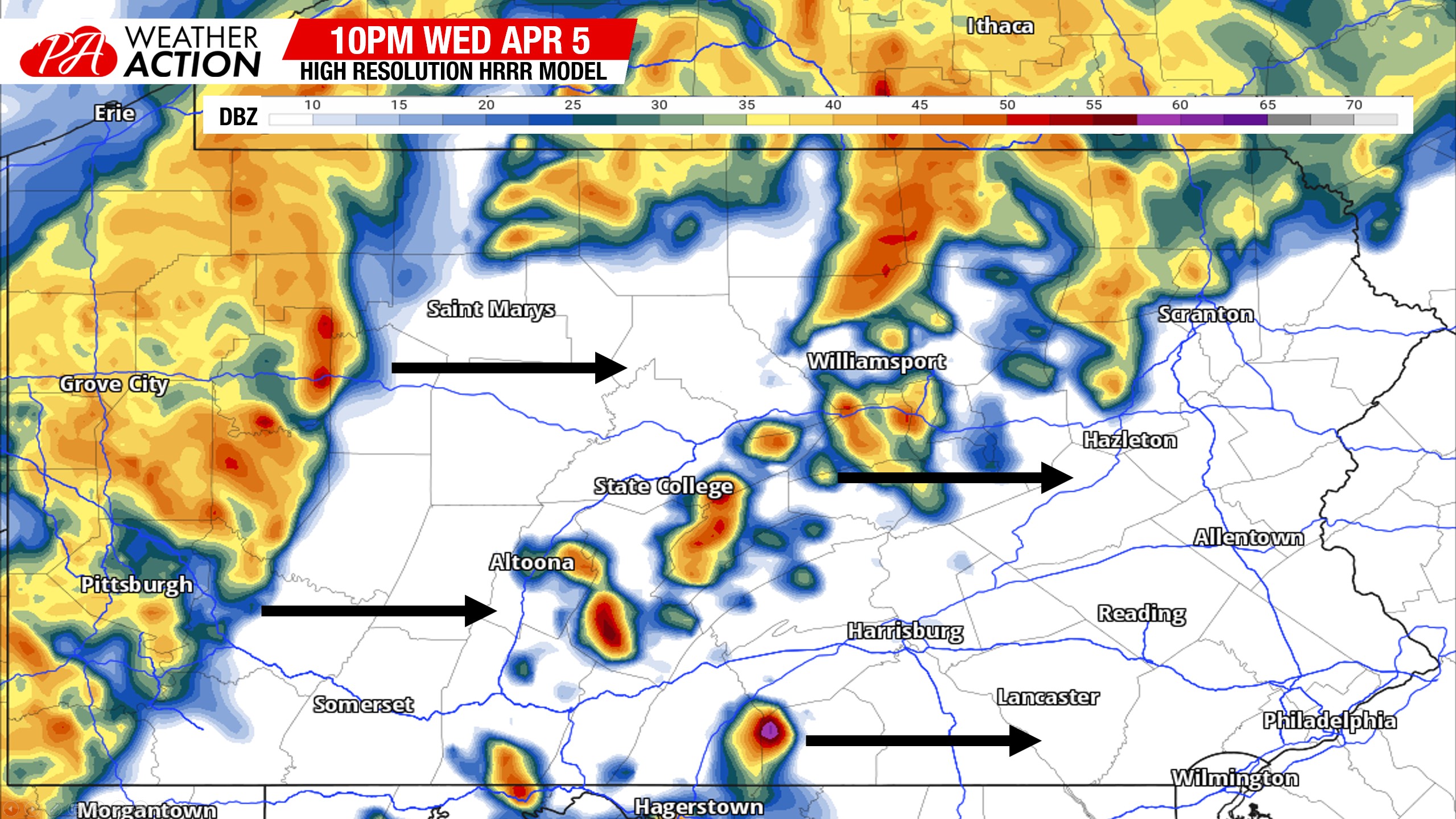
Fast-moving cold fronts sweeping across the Allegheny Mountains in spring can organize into linear mesoscale convective systems (squall lines). Look on the radar for "bow echoes"—segments where the line pushes outward like an archer's bow. These bowing segments frequently produce damaging straight-line winds exceeding 60 mph, toppling mature oak and maple trees throughout Abington's residential neighborhoods.
Top Radar Tools and Apps for Abington Residents
While default smartphone weather widgets are convenient, they frequently smooth and delay data by 10 to 15 minutes. For time-critical weather, consider using dedicated radar platforms:
- RadarScope: The gold standard for weather enthusiasts, spotters, and emergency personnel. It delivers direct, uncompressed feeds from KDIX and TPHL without algorithmic smoothing, letting you examine individual tilt levels and velocity scans.
- RadarOmega: Another powerful tool providing high-resolution NEXRAD data, 3D storm cross-sections, and integrated National Weather Service warning polygons.
- NWS Mount Holly (weather.gov/phi): The authoritative government source. Their enhanced radar page offers free, browser-based access to regional radar loops, flash flood warnings, and severe storm statements.
- Local Broadcast Radar Feeds: Regional news stations in Philadelphia (such as NBC10, 6abc, CBS Philadelphia, and Fox 29) operate live broadcast radars that overlay local street maps, making it easy to track cells passing directly over specific landmarks like the Willow Grove Park Mall or Abington Memorial Hospital.
Staying Safe When Severe Weather Strikes
Watching the radar loop is only part of preparedness. When high-reflectivity cores (purple and white pixels) approach your area, take practical precautions:
- Sign Up for Alerts: Enroll in ReadyMontco, Montgomery County's official emergency notification system, to receive geolocated alerts for flash floods, severe thunderstorms, and tornado warnings.
- Avoid Flood-Prone Intersections: Never drive through water across low-lying roads near stream crossings, especially around Pennypack Park trailheads or the intersection of Fitzwatertown Road and Route 611.
- Move Indoors Early: Lightning can strike 10 to 15 miles ahead of a storm's rain core. If you see deep red radar returns entering western Montgomery County near Norristown or Lansdale, take outdoor furniture inside and seek shelter before the first drops fall.
By pairing high-resolution radar feeds with an understanding of Abington's local topography, you can stay one step ahead of volatile Mid-Atlantic weather year-round.