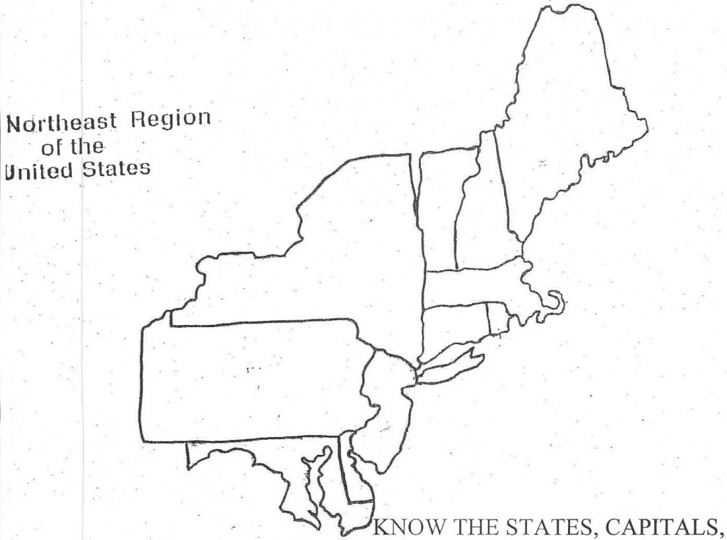
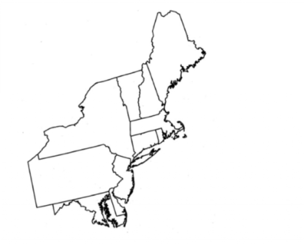
Blank Map of Northeast States: Free Printable Outlines
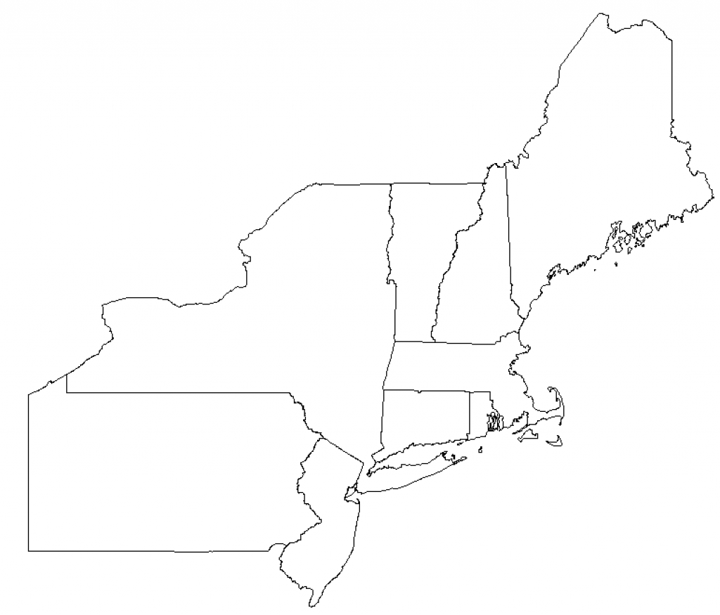
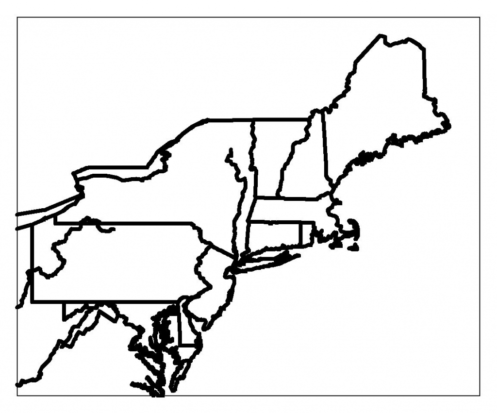
Whether you are preparing a middle school geography quiz, planning a road trip itinerary across New England, or testing your own knowledge of the US, a blank map of northeast states is an invaluable tool. The northeastern United States is known for its compact geography, historical significance, and distinct state boundaries that can sometimes be tricky to memorize at a glance.
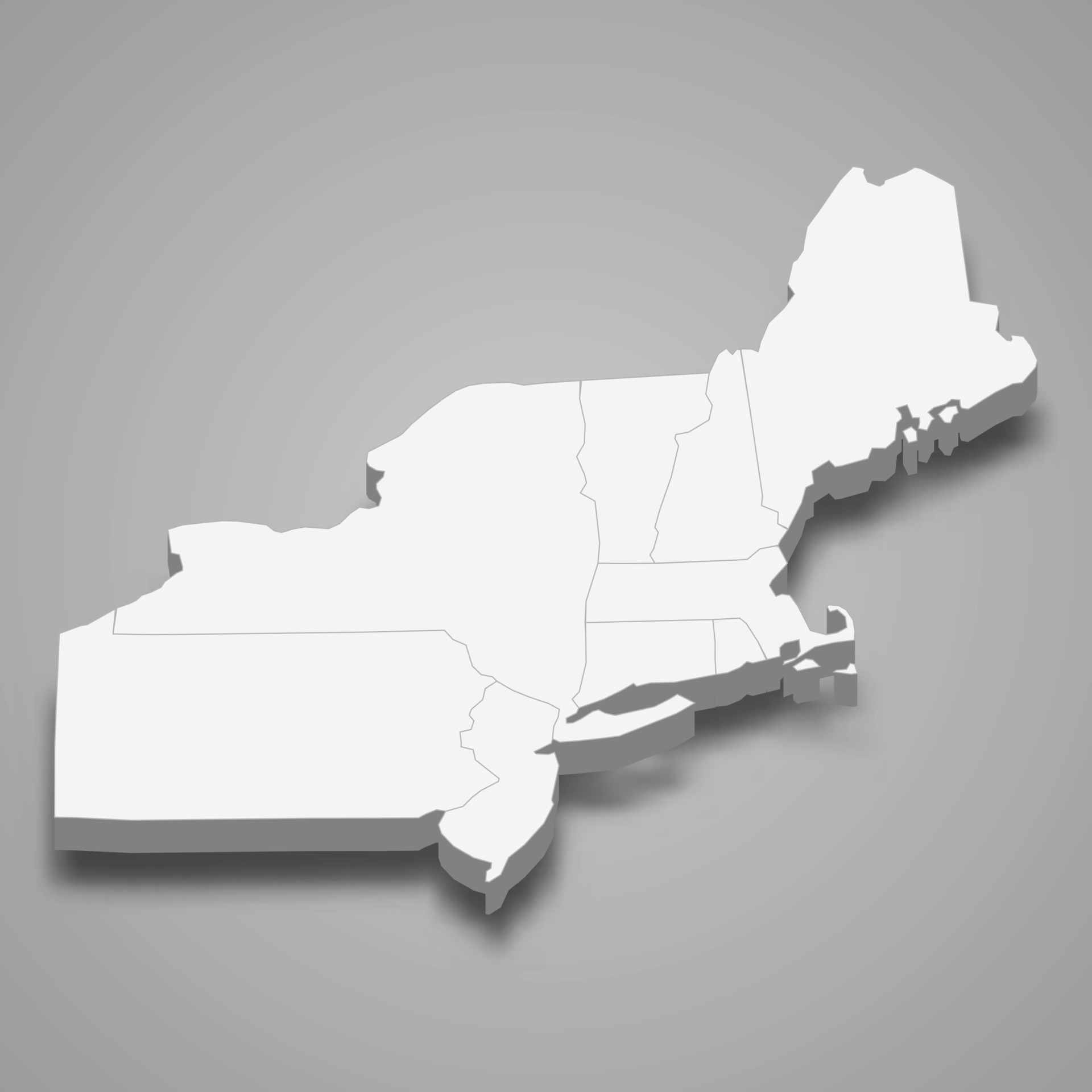
In this guide, we explore the best ways to use printable regional maps, look at which states make up the Northeast, and offer practical tips for mastering this unique corner of the country.
Understanding the Northeast Region
Before diving into map exercises, it helps to define the territory. The United States Census Bureau officially defines the Northeast region by dividing it into two distinct divisions: New England and the Mid-Atlantic. When looking at a blank map, recognizing these clusters makes memorization much easier.
The New England States
New England sits in the upper right corner of the region, bordered by Canada and the Atlantic Ocean. These six states are geographically some of the smallest in the country:
- Maine
- New Hampshire
- Vermont
- Massachusetts
- Rhode Island
- Connecticut
The Mid-Atlantic States
Just south and west of New England lie the Mid-Atlantic states. These feature larger landmasses and heavily populated coastal corridors:
- New York
- New Jersey
- Pennsylvania
Depending on the specific curriculum or study guide you use, states like Delaware and Maryland are occasionally included in regional maps of the broader Northeast, though they are officially categorized in the South by the Census Bureau.
How to Use a Blank Map of Northeast States
Printable outline maps serve multiple purposes for educators, students, and lifelong learners. Because the northeastern states are packed closely together, working with a clean outline allows you to focus on specific spatial relationships without the distraction of roads, cities, or terrain features.
Video: Complete Mapping of North - Eastern States of India | In less than 35 Minutes| UPSC 2025 - 26 #upsc
1. Geography Quizzes and Testing
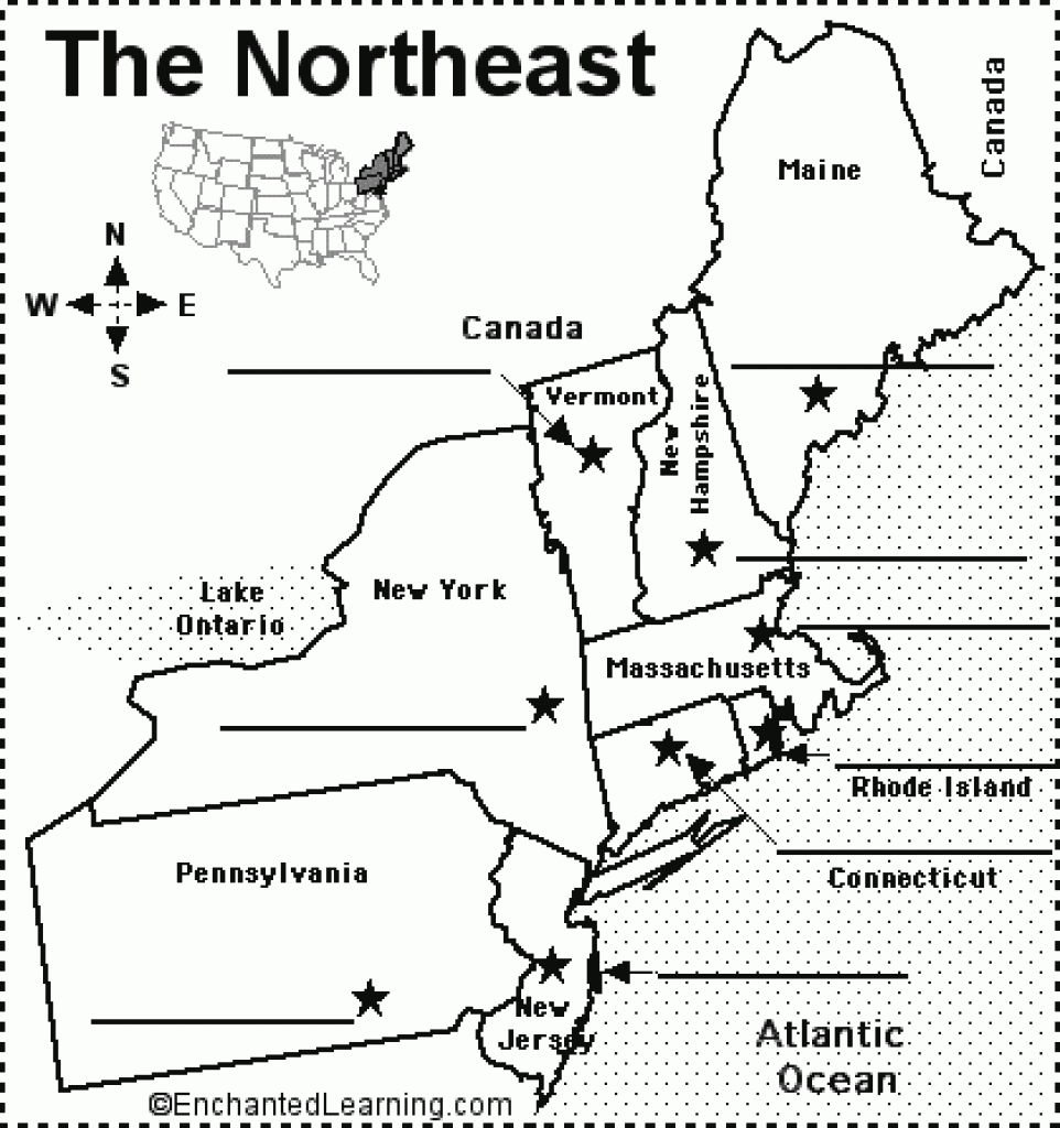
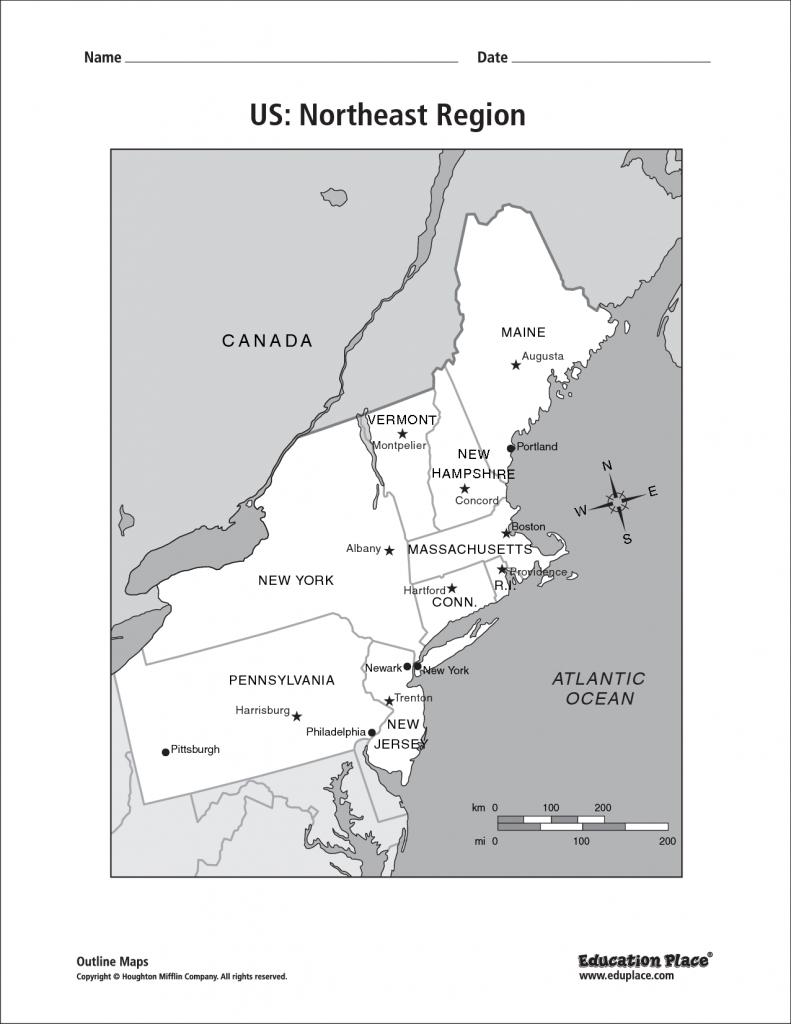
Teachers frequently use unlabelled outlines to test student retention. To create an effective quiz, print a map with numbered pointers pointing to each state. Students can then write down the corresponding state names and capitals on a separate answer sheet.
2. Custom Travel Itineraries
Planning a leaf-peeping road trip through New England or a historic tour of the Mid-Atlantic? A clean outline map lets you draw custom driving routes, highlight national parks, and mark historical landmarks without cluttering a standard GPS screen.
3. Historical and Demographic Studies
The Northeast played a pivotal role in early American history. Blank outlines are frequently used in history classrooms to map out Revolutionary War battle sites, industrial revolution hubs, or population density shifts over the decades.
Tips for Memorizing the Northeast States
Because northeastern states are much smaller than their western counterparts, students often struggle to fit labels inside the borders. Here are a few proven strategies to master the layout:
- Learn the Coastline First: Start from the top with Maine, then trace your finger down through Massachusetts, Rhode Island, and Connecticut to New York and New Jersey.
- Use Mnemonics: Create memory phrases for the New England states (for example, "My New Vermont Mice Rarely Cry" for Maine, New Hampshire, Vermont, Massachusetts, Rhode Island, and Connecticut).
- Practice with Pointers: Draw lineouts (callout arrows) from tiny states like Rhode Island and Connecticut into the ocean or onto the margin so your labels remain legible.
Where to Find and Download Outline Maps
When searching for a high-quality printable outline, look for files in PDF format or high-resolution vector images. PDF files ensure that the map scales correctly when printed on standard letter paper without pixelation or distorted borders. Ensure your chosen map includes clear, crisp state borders so you can easily distinguish between neighboring states like Vermont and New Hampshire.
By incorporating a blank outline into your study routine or lesson plan, you will quickly move from guessing state borders to identifying every corner of the Northeast with absolute confidence.