Blank Northeast State Map: Uses, Formats & Free Download
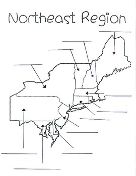
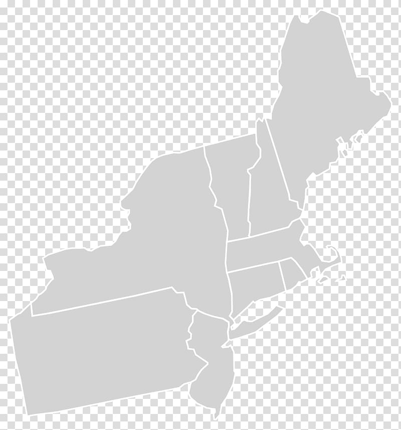
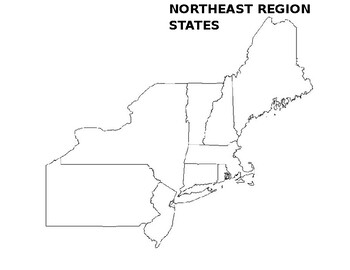
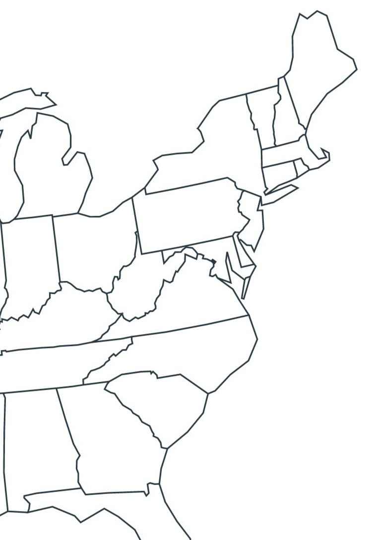
Whether you are designing a middle school geography quiz, planning a historic road trip across the Mid-Atlantic, or analyzing regional business data, a blank northeast state map is an invaluable tool. Unlike fully labeled reference maps, a blank outline map forces the user to recall, identify, and place states within their correct geographical context. This active learning process boosts retention and provides a clean canvas for customized data visualization.
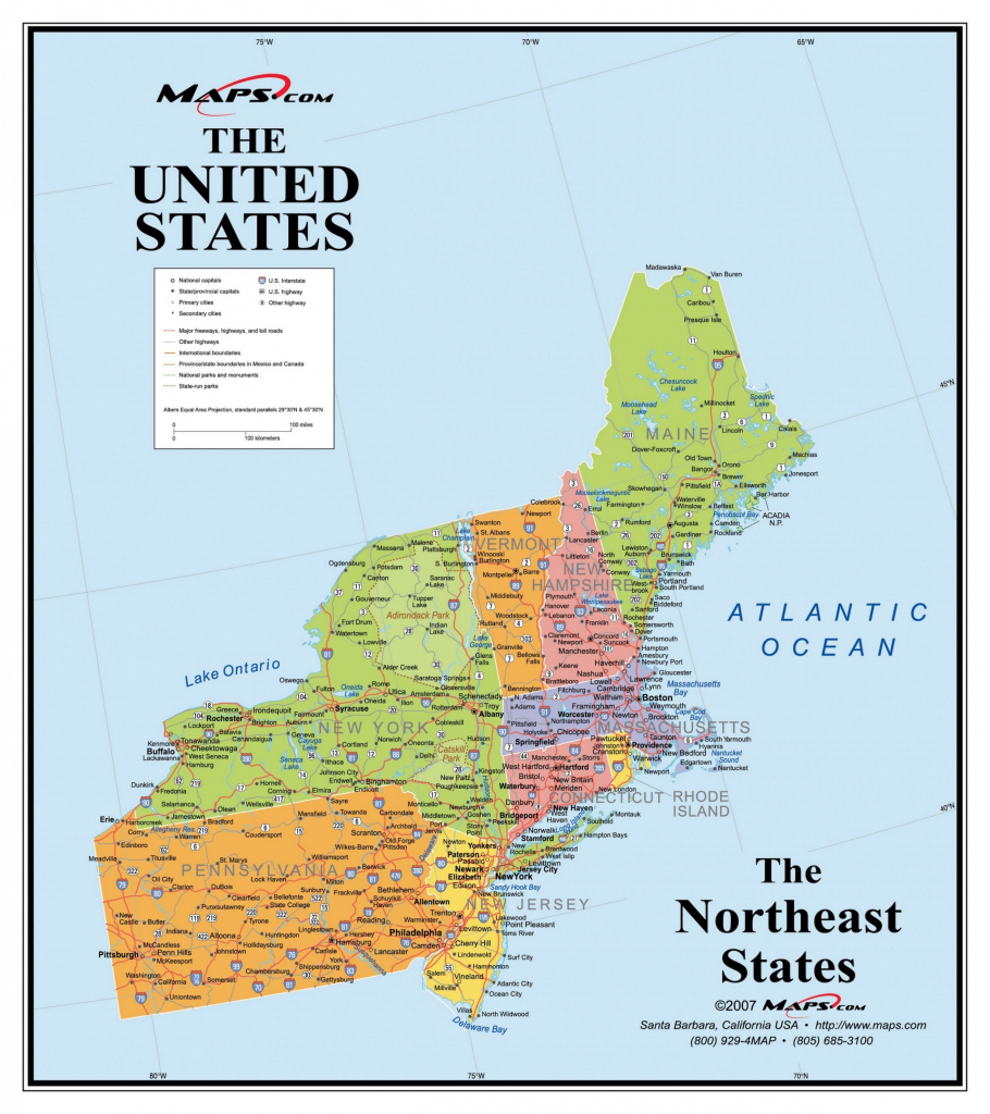
In this guide, we will explore the different ways you can utilize a blank map of the Northeastern United States, which states it typically includes, and how to choose the right format for your specific project.
Defining the Northeast Region on a Map
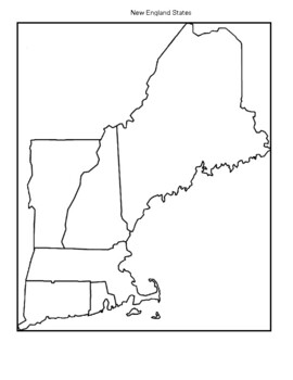
Before downloading or drawing on your map, it helps to establish which states make up the Northeast. While government definitions can occasionally vary, the region is generally divided into two distinct sub-regions: New England and the Mid-Atlantic.
A standard map of the Northeast encompasses nine core states:
- Maine (ME)
- New Hampshire (NH)
- Vermont (VT)
- Massachusetts (MA)
- Rhode Island (RI)
- Connecticut (CT)
- New York (NY)
- New Jersey (NJ)
- Pennsylvania (PA)
Depending on the scope of your project, some maps may also extend southward to include Delaware and Maryland, or westward to touch Ohio. When selecting a blank outline, always check the borders to ensure the specific states you need are fully visible.
Top Educational Uses for Geography Worksheets
Teachers and homeschool educators frequently rely on blank maps to test spatial awareness and regional knowledge. Because the Northeastern states are relatively small and tightly clustered—particularly in New England—they offer a wonderful challenge for students learning map-reading skills.
1. State and Capital Identification Tests
Handing students an unmarked outline map is the ultimate test of geography mastery. You can ask students to:
- Fill in the correct name of each state.
- Plot and label each state capital (e.g., Montpelier for Vermont, Albany for New York).
- Draw in major geographic features like the Hudson River, Green Mountains, or the Atlantic coastline.
2. Historical Mapping Exercises
The Northeast is steeped in American history. A blank template allows history teachers to create custom timelines and spatial overlays. Students can color-code the original Thirteen Colonies, map out key Revolutionary War battles like Saratoga and Trenton, or trace the expansion of early railroad networks connecting New York City and Boston.
Professional and Personal Applications
Blank maps aren't just for the classroom. Professionals across various industries use outline maps for strategic planning and presentations.
Sales Territories and Logistics
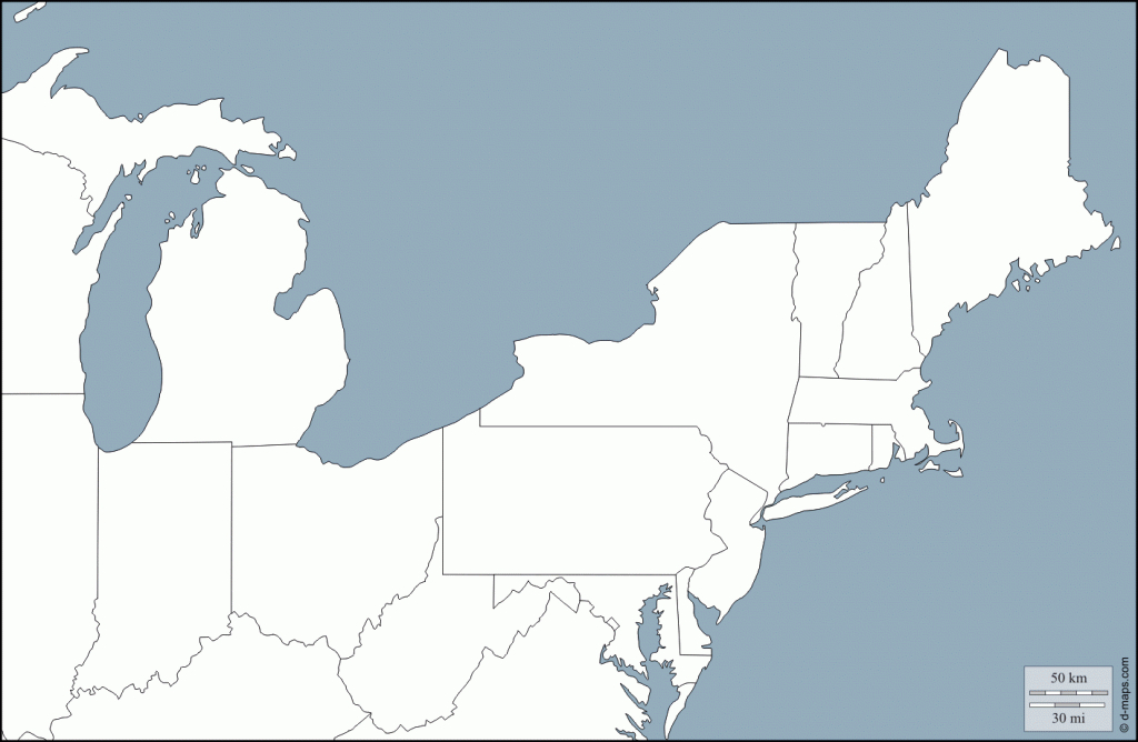
If you manage regional sales or distribution for a company based in Philadelphia or Boston, a clean outline map helps you draw sales territories. You can color-code states based on quarterly performance, assign regional manager zones, or map out supply chain routes between major metropolitan hubs without the visual clutter of interstate highway lines.
Travel Itinerary Planning
Planning an autumn foliage tour or a coastal New England road trip? Print out a blank regional map to sketch your route. You can manually circle destinations, mark national parks, and calculate driving distances between stops in a visual way that digital GPS apps sometimes fail to capture.
Choosing the Right File Format
When searching for a blank northeast state map, you will generally encounter three primary file types. Choosing the right one depends on how you plan to use it:
PDF Format
PDFs are the gold standard for physical printing. A vector-based PDF map will maintain crisp, clean border lines whether you print it on a standard 8.5x11-inch sheet of printer paper or scale it up to poster size for a classroom bulletin board. They are ideal for handouts and worksheets.
Image Files (JPEG or PNG)
High-resolution JPEG or PNG files work best if you need to drop the map into a digital document, slide presentation (like PowerPoint or Google Slides), or graphic design software. Ensure you select an image with a transparent background or a pure white fill so it integrates smoothly into your materials.
Vector Graphics (SVG or EPS)
If you are a graphic designer or cartographer, vector files are essential. They allow you to select individual state borders, change the fill color of a single state independently, and resize the map infinitely without losing resolution.
Tips for Customizing Your Outline Map
Once you have downloaded your blank map, you can maximize its utility with a few simple techniques:
- Add a Legend: If you are using the map for data visualization (such as population density or election results), always include a clear key or legend in the corner.
- Laminate for Reuse: If you plan to use the map for multiple classroom quizzes or brainstorming sessions, laminate the printed page. Students can use dry-erase markers, which wipe clean easily.
- Include Neighboring Context: Ensure the map displays subtle outlines of neighboring states (like Ohio or Virginia) and international borders (Canada) so users have proper spatial orientation.
By leveraging a high-quality blank northeast state map, you can create engaging educational materials, streamline professional planning, and gain a clearer visual understanding of this historically and economically vital region.