Boston NOAA Radar: Your Guide to Local Weather Tracking
When planning your day or tracking a fast-moving nor'easter in New England, checking the boston noaa radar is essential. Operated by the National Weather Service (NWS), this powerful Doppler radar system provides crucial meteorological data that helps residents, mariners, and emergency personnel stay ahead of hazardous weather conditions. Whether you are tracking a summer thunderstorm rolling across Middlesex County or a heavy winter blizzard burying the South Shore, understanding how to read and utilize this radar is a valuable skill.

Understanding the Boston NOAA Radar System
The radar officially designated as KBOX is strategically positioned to cover Eastern Massachusetts, Rhode Island, and adjacent coastal waters. Utilizing WSR-88D (Weather Surveillance Radar-1988 Doppler) technology, the station sends out pulses of radio waves that bounce off precipitation particles like rain, snow, sleet, and hail.
The return signals, or echoes, are then processed to show meteorologists and the public the exact location, movement, intensity, and type of precipitation. Because Boston's coastal geography creates unique microclimates—where ocean breezes clash with inland warmth—having real-time radar data is critical for accurate short-term forecasting, known as nowcasting.
Key Features of the Boston NOAA Radar
Modern radar imagery offers much more than just a basic picture of where it is raining. When you view the radar online, you have access to several distinct products tailored for different weather scenarios.
Base Reflectivity
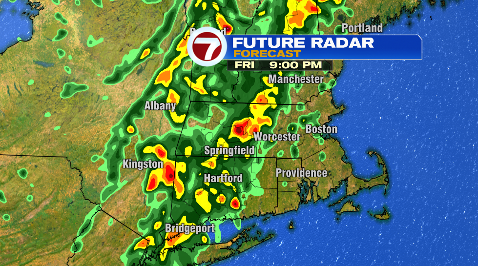
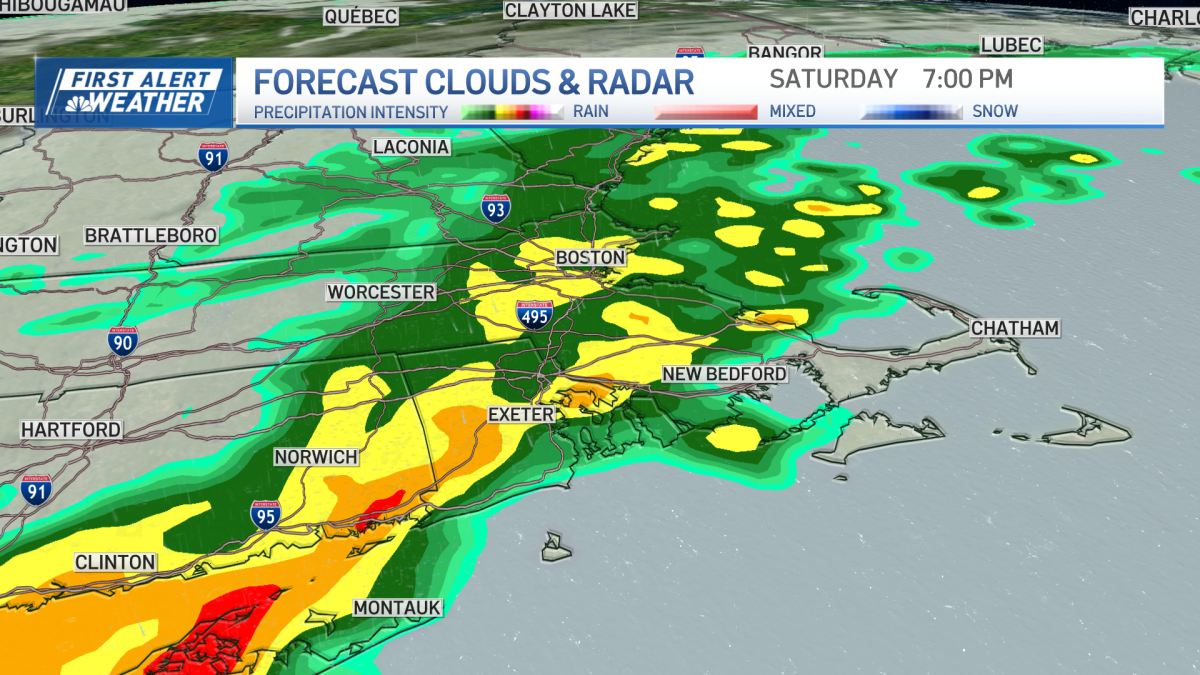
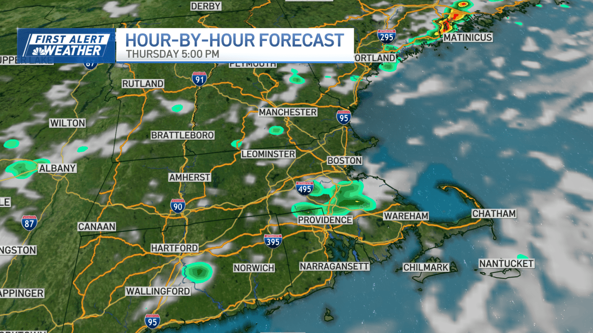
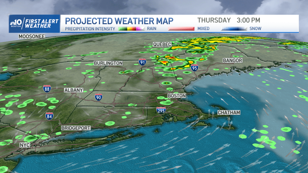
Base reflectivity is the standard view most people check. It measures the strength of the returning radar signal in decibels relative toz (dBZ). On your screen, this translates to a color-coded map:
- Greens and Blues: Light to moderate rain or snow.
- Yellows and Oranges: Heavier downpours and developing convective activity.
- Reds and Purples: Torrential downpours, severe thunderstorms, potential hail, or embedded high winds.
Velocity (Storm-Relative Motion)
While reflectivity shows where precipitation is, velocity data shows how fast and in what direction the wind and rain are moving relative to the radar site. This product is vital during severe weather outbreaks. Meteorologists look for couplets of bright green (winds moving toward the radar) and bright red (winds moving away) right next to each other, which can indicate rotation within a thunderstorm and the potential for a tornado.
Accumulation Products
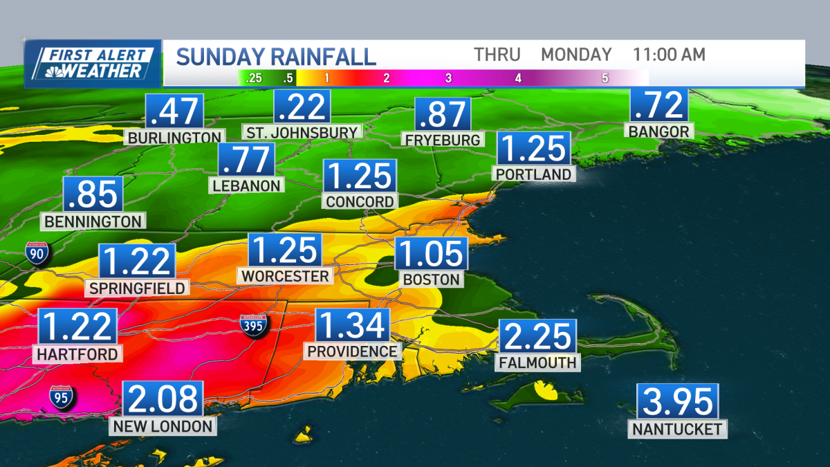
During winter storms, total snowfall accumulation estimates become the top priority for Boston residents. NOAA radar products calculate estimated rainfall and snowfall rates over specific time frames, helping commuters and city snow-removal operations gauge how much accumulation has occurred in neighborhoods from Cambridge down to Plymouth.
How to Access Live Radar Data
Accessing the most up-to-date information from the KBOX station is completely free and available through multiple official channels.
- The Official NWS Website: Visiting weather.gov/box gives you direct access to the local National Weather Service office in Taunton, MA, which oversees the radar feed. You can loop images to watch storm trajectories.
- The Interactive GIS Viewer: Modern web interfaces allow users to zoom in down to street level, overlay topography, and check local river gauges.
- Mobile Apps and NOAA Weather Radio: While third-party weather apps use NOAA data, coupling your radar checks with NOAA Weather Radio broadcasts ensures you receive audio alerts during severe weather warnings.
Limitations of Radar Technology
While the Boston NOAA radar is remarkably accurate, it is not infallible. Understanding its limitations prevents misinterpretation during high-stakes weather events.
Because the radar beam travels in a straight line while the Earth curves downward, the radar beam actually sits thousands of feet above the ground the farther it gets from the transmitter site in Taunton. This means light drizzle or flurries close to the ground can sometimes slip underneath the radar beam entirely, showing up as clear on your screen while it is actively misting outside your window.
Additionally, obstructions like tall buildings in downtown Boston or surrounding hills can occasionally block or distort the beam, creating blind spots or false echoes known as ground clutter.
Conclusion
The boston noaa radar remains the gold standard for tracking atmospheric changes across Massachusetts and the surrounding coastal waters. By learning how to interpret reflectivity, velocity, and storm movement, you can make informed decisions whether you are planning a weekend trip, commuting through rush hour, or preparing your home for a severe New England storm.