CrimeSpot: How to Track Local Crime Hotspots
Whether you are researching a new neighborhood before buying a home, signing an apartment lease, or simply walking your dog at night, knowing how to identify a local crimespot is essential for personal safety. Today, public safety is no longer confined to local evening news broadcasts or physical police blotters. Modern technology provides real-time access to incident reports, geographic trends, and neighborhood risk profiles directly on your phone or computer.

However, having access to raw incident data is only half the battle. To protect your household and make informed decisions, you must understand how crime mapping platforms work, how to interpret the data accurately, and what steps to take if you find yourself living near an active crime cluster.
What Is Crime Mapping and How Does It Work?
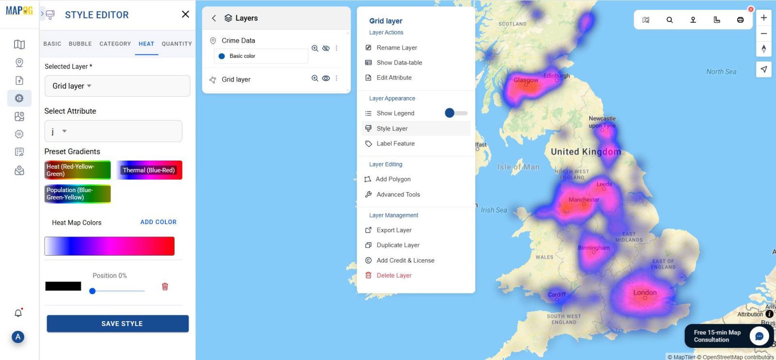
Crime mapping relies on Geographic Information Systems (GIS) to visually display where criminal incidents occur across a city or county. Law enforcement agencies use these systems internally to allocate patrols, detect patterns, and deploy resources effectively. In recent years, departments have integrated their Computer-Aided Dispatch (CAD) systems and records management software with public-facing interfaces.
When an officer files an incident report or dispatch logs a verified call, the software strips out sensitive personally identifiable information (PII) to protect victims. The remaining details—the type of offense, approximate address (often rounded to the nearest block), date, and time—are plotted onto a digital map. This automated process gives everyday citizens transparent insight into the safety conditions of their streets.
Top Digital Tools to Identify a CrimeSpot Near You
Several established platforms aggregate municipal police records, 911 dispatch calls, and user reports to help you survey safety levels in any given area:
- SpotCrime and CrimeMapping.com: These web portals partner directly with hundreds of police departments across North America. They pull official incident logs daily, categorizing reports into straightforward markers such as theft, burglary, assault, robbery, and vandalism.
- City Open Data Portals: Major metropolitan areas (such as New York, Chicago, Los Angeles, and London) maintain independent open data portals. These repositories often offer deeper historic archives than commercial apps, allowing you to run custom queries on seasonal crime shifts over multiple years.
- Citizen App: Unlike traditional mapping sites that pull official after-the-fact reports, Citizen relies on monitored 911 radio traffic and crowdsourced user videos to provide immediate, real-time safety alerts. While fast, users should corroborate alerts, as raw scanner traffic can change rapidly before investigations conclude.
- LexisNexis Community Crime Map: A favorite among neighborhood watch coordinators, this tool combines law enforcement data with analytical density maps, visually highlighting where offenses concentrate over 30-, 60-, or 90-day intervals.
How to Accurately Interpret Crime Data
Looking at a map covered in colored pins can cause unnecessary alarm if you do not know how to evaluate the data contextually. When analyzing a prospective crimespot, keep the following distinctions in mind:
1. Distinguish Between Violent Crime and Property Crime
Video: Fatal hunting accident: 23-year-old shot dead!
The vast majority of pins on public crime maps represent non-violent property crimes, such as shoplifting, package theft, or vehicle break-ins. While frustrating and costly, property offenses represent a very different risk category than violent crimes like aggravated assault or armed robbery. Make sure you filter your view to analyze the specific types of offenses occurring near you.
2. Account for Foot Traffic and Commercial Hubs
A shopping center, transit station, or nightlife district will naturally generate dozens more police calls per month than a quiet suburban cul-de-sac. This does not automatically make the adjacent residential street unsafe. Always calculate risk based on human density and foot traffic rather than raw incident counts alone.
3. Watch for Reporting Lags
Not all departments update their databases simultaneously. Some agencies upload dispatch data within 24 hours, while others publish batches once a week or monthly. If a map appears completely clear over the past seven days, check the historical view over the last three to six months to confirm whether the area is genuinely quiet or merely awaiting a data upload.
Practical Steps for Reducing Risk Around High-Incident Areas
If your research reveals that your home, workplace, or route sits near a persistent crime hotspot, you can take practical, evidence-backed measures to safeguard your property and loved ones.
- Apply CPTED Principles: Crime Prevention Through Environmental Design (CPTED) is a proven architectural strategy. Keep shrubs trimmed below window height to eliminate hiding spaces, install motion-activated exterior LED lighting, and ensure your house numbers are clearly visible from the street so emergency services can locate you quickly.
- Secure Vehicles Diligently: Vehicle break-ins are among the most common triggers for neighborhood crime spikes. Never leave valuables, loose change, garage door openers, or bags visible inside a parked car, and ensure windows are fully rolled up even in your own driveway.
- Establish a Digital Neighborhood Watch: Platforms like Nextdoor or localized messaging groups allow neighbors to exchange verified safety information. When neighbors communicate regularly, suspicious activities—such as daylight porch piracy or unauthorized entry attempts—are recognized and reported to authorities much faster.
- Layer Your Home Security: Combine passive deterrents (visible security cameras, smart doorbells, deadbolts) with active measures (monitored alarms and interior timers for lights). Visual deterrence alone redirects the majority of opportunistic offenders elsewhere.
The Balance Between Vigilance and Anxiety
Digital crime tracking gives communities unprecedented transparency, but constant alerts can lead to unnecessary fear if not approached with perspective. Crime rates across many categories remain significantly lower than historical peaks from several decades ago. Use crime mapping platforms as actionable advisory tools—to choose safe running routes, select secure parking spots, and harden your home against opportunistic theft—rather than a source of continuous worry.
By pairing reliable mapping data with common-sense prevention techniques, you can effectively monitor any crimespot in your vicinity and create a safer environment for your household and community.