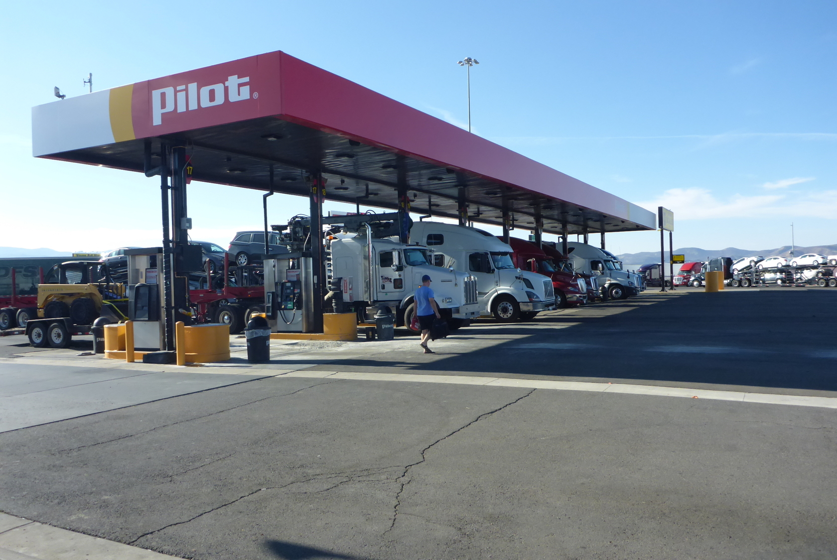
Directions to the Pilot Truck Stop: Quick Travel Guide
Finding accurate directions to the Pilot truck stop along your route can make the difference between a smooth stop and a stressful detour. Whether you are hauling fifty-three feet of freight across interstate corridors or driving an RV on a cross-country family road trip, navigating into a commercial travel plaza requires advance planning, reliable GPS data, and an understanding of physical lot layouts.

How to Get Directions to the Pilot Truck Stop Near You
Pilot Company operates hundreds of Pilot Travel Centers and Flying J locations across the United States and Canada. Because these locations sit predominantly along major freight corridors, accessing them is straightforward once you know which tools provide the most reliable routing.
1. The Pilot Flying J App (myRewards Plus)
The single most accurate way to locate and route to a facility is the official myRewards Plus app. Unlike general consumer map tools, the official app syncs directly with the company database to show real-time facility information:
- Filter by Amenities: Search specifically for locations offering bulk diesel exhaust fluid (DEF), truck washes, commercial laundry, walk-in clinics, or overnight reserved parking.
- Live Parking Counters: View estimated open spaces before pulling off the highway, saving you from navigating a full lot during peak evening hours.
- Direct Navigation Export: Tap a location to push coordinates directly into Google Maps, Apple Maps, or commercial navigation software.
2. Truck-Specific GPS Units
If you operate a commercial motor vehicle (CMV) or a large Class A motorhome, never rely solely on standard consumer mapping platforms. Smartphone navigation algorithms routinely guide drivers onto narrow residential bypasses, weight-restricted secondary roads, or beneath low-clearance rail bridges.
Dedicated trucking navigation devices—such as Garmin dēzl or Rand McNally TND units—allow you to input your gross vehicle weight, axle count, height, and hazardous materials status. When you request directions to a Pilot location, the device plots a route exclusively across designated national truck networks (Surface Transportation Assistance Act routes).
3. Voice-Activated Search via Smartphone
If you are operating a standard passenger car or pickup truck, voice commands provide hands-free routing while driving. Use specific voice prompts to avoid confusing local municipal depots with highway travel centers:
- "Navigate to the nearest Pilot Flying J travel center."
- "Find the closest Pilot truck stop on Interstate 80."
Interstate Signage and Highway Approaches
Modern navigation technology works best when backed up by physical road awareness. As you approach an interstate exit, state departments of transportation place blue Specific Service signs approximately one to two miles before the ramp.
Look for the red-and-yellow Pilot logo on the fuel category board. These signs explicitly list which exit ramp provides direct access. In rural areas, travel plazas may sit adjacent to the highway, but the actual entrance ramp might require turning onto an intersecting state route or frontage road. Watch for secondary signs that direct heavy commercial traffic away from local passenger vehicle bypass lanes.

Navigating the Lot: Fuel Lanes vs. Auto Islands
Arriving at your destination is only half the battle. Pilot travel plazas are deliberately designed with separate traffic patterns to keep heavy commercial rigs separated from consumer vehicles.
Passenger Cars and Light Trucks
Automobile gasoline dispensers are typically located at the front or side of the main building. These canopies have lower overhead clearance—usually between 13 and 14 feet—which is plenty of room for passenger vehicles, rooftop cargo boxes, and standard camper vans. Do not enter the commercial diesel lanes in a standard passenger vehicle; doing so creates congestion and puts your car in the blind spots of multi-ton semi-trucks.
Commercial Trucks and Large RVs
The high-flow diesel islands sit behind or adjacent to the main travel store. These lanes feature high-clearance canopies, ultra-high-flow nozzles (pumping up to 60 gallons per minute), in-line DEF dispensers, and satellite pumps that fill dual saddle tanks simultaneously.
Follow the dedicated "Truck Entrance" arrows painted on the tarmac or mounted on perimeter signposts. Yield to trucks exiting the fuel bays, and pay close attention to the designated one-way circulation loops around the scale and parking grid.
Trip-Planning Tips Before You Arrive
To maximize efficiency and maintain road safety, keep these operational considerations in mind before following directions into the plaza:
- Check for Split-Bridge Exits: In mountainous or highly developed areas, some interstate exits cross bridges with weight or turning radius limitations. Verify your exit number on a paper Motor Carriers' Road Atlas if driving an oversize load.
- Verify Restaurant and Amenity Hours: While fuel islands and travel stores remain open 24 hours a day, quick-service franchise restaurants inside (such as Wendy's, Subway, or Arby's) may operate on reduced overnight schedules.
- Reserve Parking in Advance: Truck parking fills up rapidly nationwide between 4:00 PM and 7:00 PM. If your route lands you at a Pilot location after dusk, use your smartphone app early in the afternoon to secure a paid reserve stall.
- Identify the CAT Scale: If you need to weigh your axle loads after refueling, locate the yellow certified scale platform on your initial approach so you can enter the queue without having to circle the entire yard twice.
Handling Navigation Offline in Dead Zones
Certain freight lanes across western states, rural expanses, and mountain passes suffer from patchy cellular coverage. If your smartphone loses connection, your mapping app may fail to recalculate or show upcoming exits.
Before you hit the road, download offline map regions for your travel corridor within Google Maps or your dedicated navigation app. Maintain a written list of upcoming Pilot mile-markers along your interstate route so you know exactly which exit to take, even when your cellular signal drops completely.