Exploring Continents and Oceans on a Blank Map
Mastering Geography Through Cartography

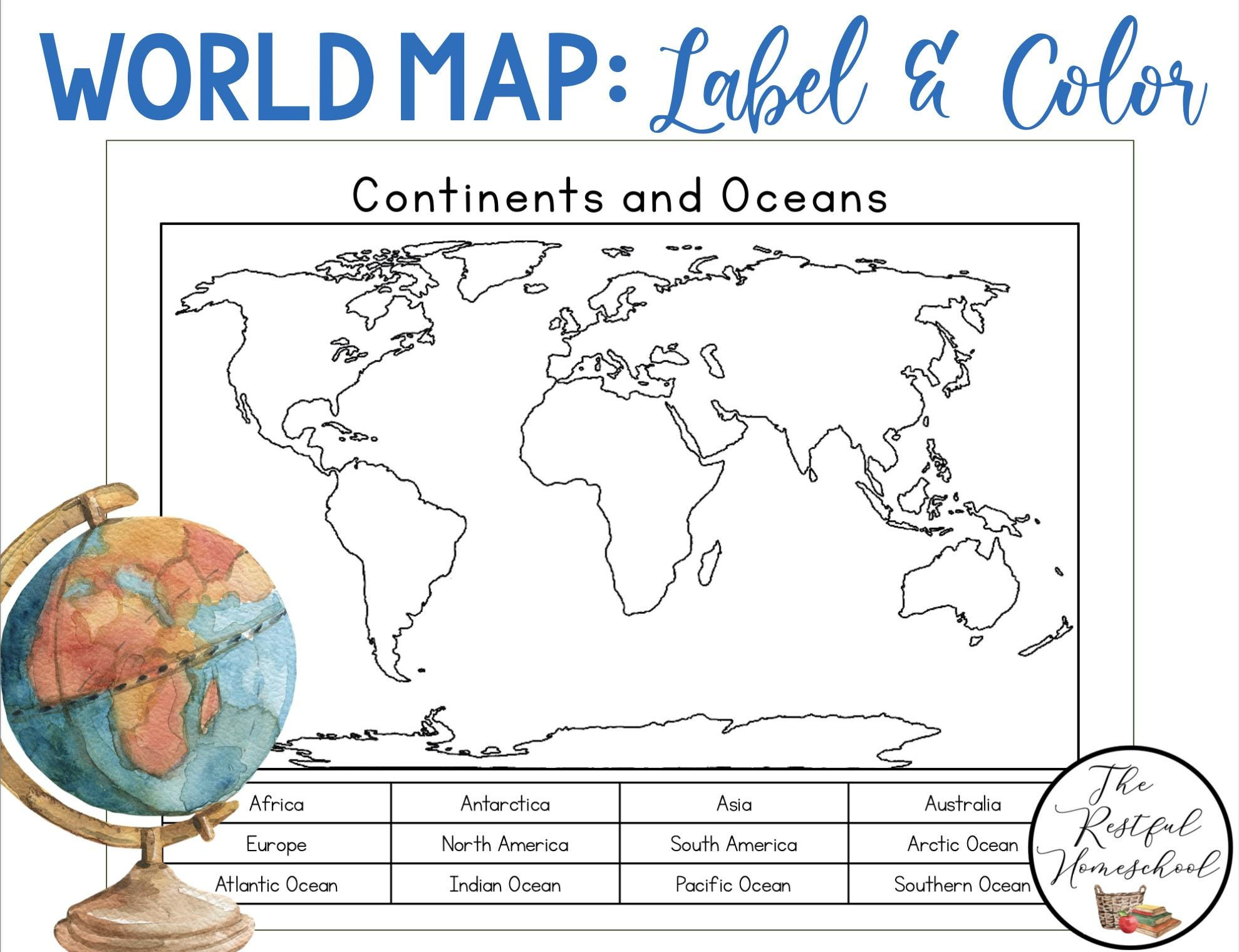
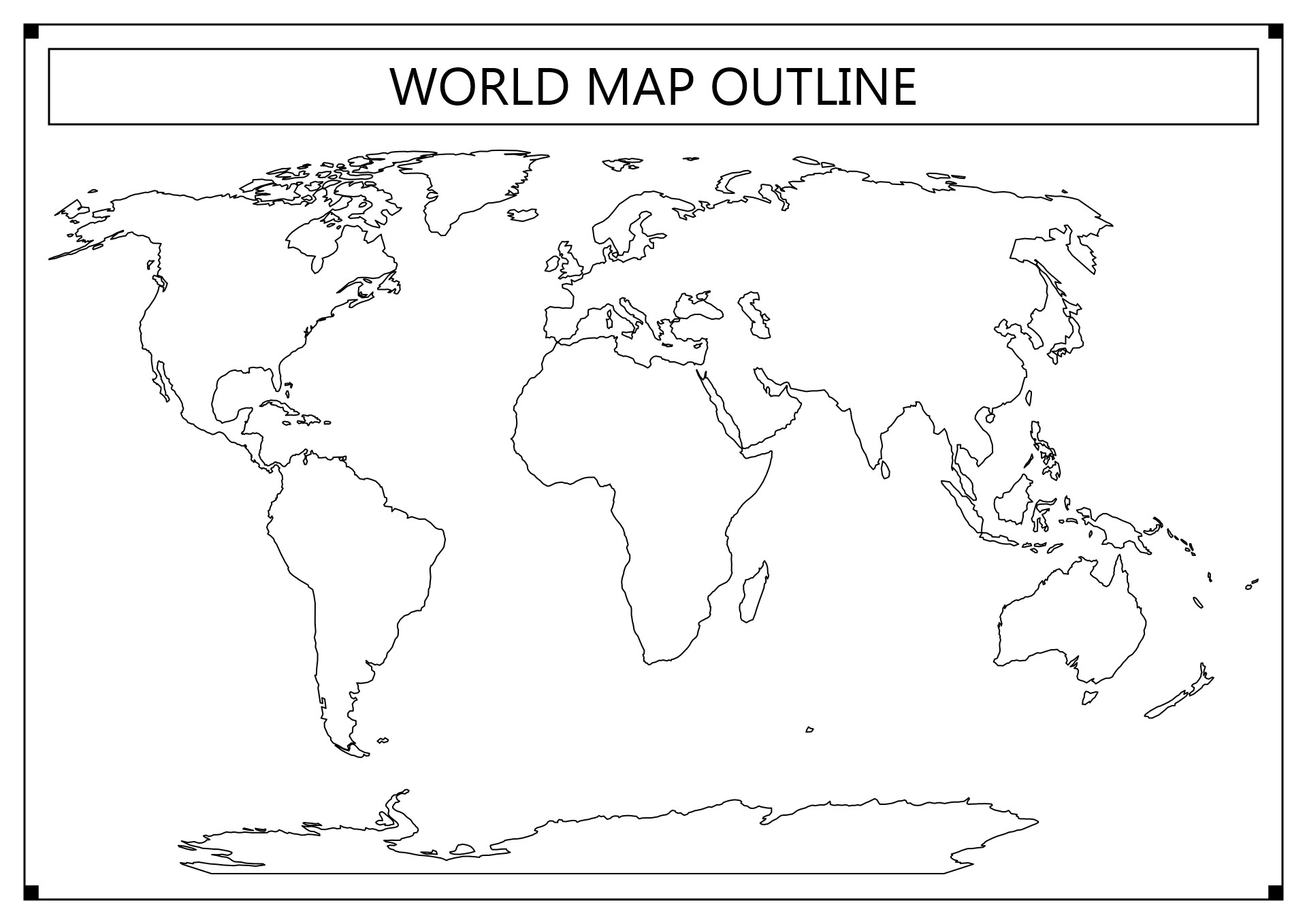
Looking at a fully labeled world atlas can be overwhelming. Names, borders, and capital cities crowd the page, making it difficult to understand the actual layout of our planet. That is why exploring continents and oceans on a blank map is one of the most effective ways to truly master global geography. By stripping away the clutter, you force your brain to actively recall spatial relationships, relative sizes, and cardinal directions.
Whether you are a student preparing for a geography bee, a homeschool educator, or a lifelong learner wanting to brush up on world affairs, practicing with outline maps transforms passive recognition into active knowledge. This guide will walk you through systematic approaches to learning the seven continents and five oceans from scratch.
Breaking Down the Seven Continents
Before putting pen to paper or mouse to digital canvas, it helps to understand the landmasses you are trying to place. Geographers generally recognize seven distinct continents, each with unique shapes and spatial contexts that make them recognizable on an outline.
Asia and Africa: The Eurasian Giant and the Cradle
Asia is the largest continent by both land area and population. On a blank map, it dominates the northeastern hemisphere, stretching from the Ural Mountains in the west to the Pacific Ocean in the east. Directly southwest of Asia lies Africa, anchored by the Sahara Desert and easily identified by its distinctive horn on the east coast and the bulge on the west.
The Americas: North and South
The Western Hemisphere is defined by two massive landmasses connected by the narrow Isthmus of Panama. North America features a wide northern expanse (Canada and Alaska) tapering down through the United States and Mexico. South America hangs below like a giant, inverted triangle, heavily defined by the Amazon basin and the long spine of the Andes mountains along its western edge.
Europe, Oceania, and Antarctica
- Europe: Though technically part of the Eurasian landmass, Europe is historically and culturally treated as a separate continent. Look for its jagged coastline and peninsulas jutting into the Mediterranean, Atlantic, and Baltic seas.
- Oceania (Australia): Located in the Southern Hemisphere, Australia is the world's smallest continent, often grouped with surrounding Pacific island nations. It sits isolated below Asia.
- Antarctica: The frozen, ice-covered continent at the very bottom of the globe, wrapping symmetrically around the South Pole.
Navigating the Five Oceans
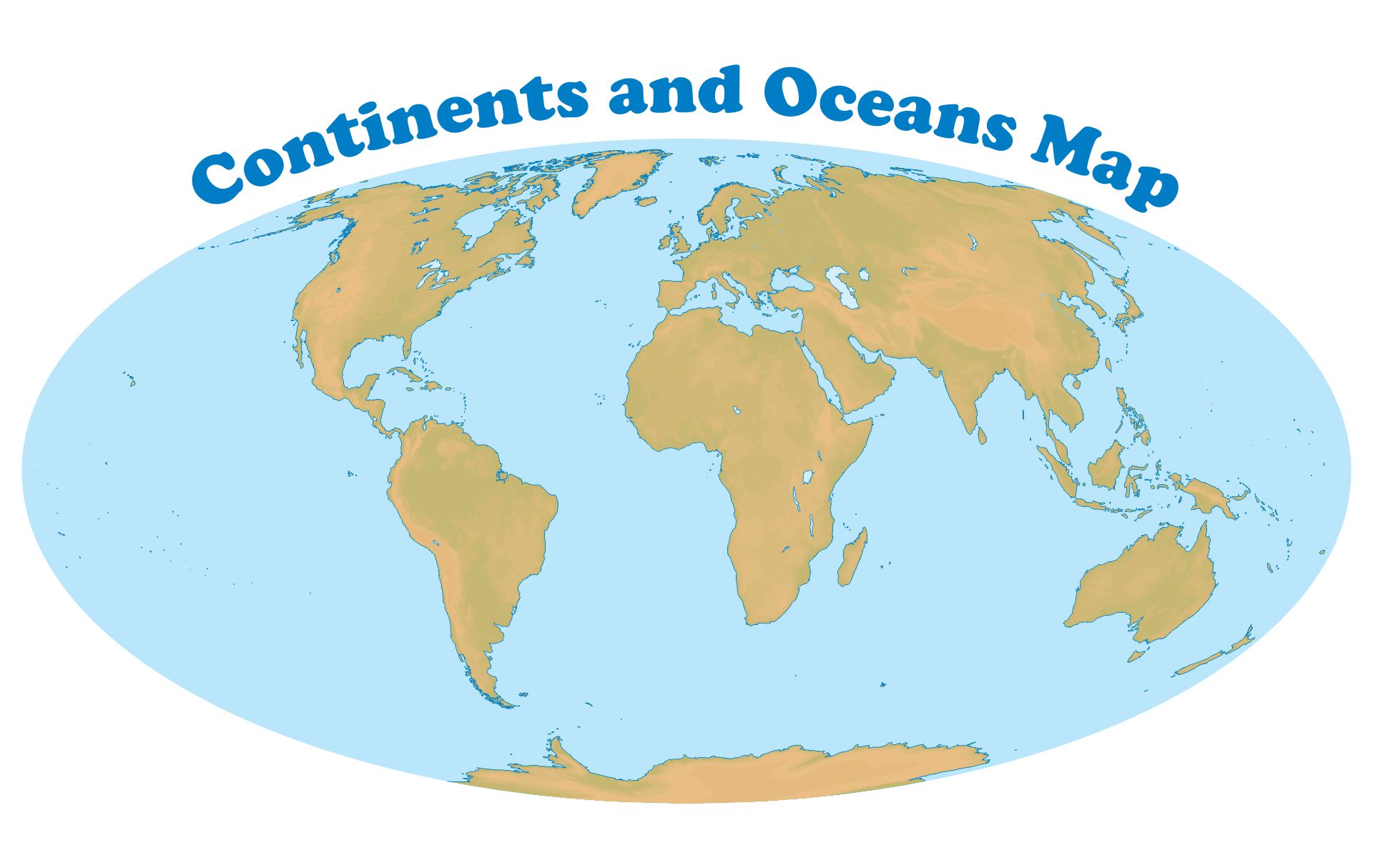
Oceans cover roughly 71 percent of the Earth's surface, acting as the blue connectors between our landmasses. When learning to label them, use the surrounding coastlines as anchor points.
The Pacific and Atlantic Oceans
The Pacific Ocean is the largest and deepest of the world's oceanic divisions. On a standard flat map, it appears split on the far left and far right edges, though it forms a continuous body of water wrapping around the globe. The Atlantic Ocean sits in an elongated 'S' shape, separating the Americas from Europe and Africa.
The Indian, Arctic, and Southern Oceans
- Indian Ocean: Positioned south of Asia, east of Africa, and west of Australia, this warm-water basin is easily spotted beneath the Indian subcontinent.
- Arctic Ocean: Located at the northernmost region of the globe, bordered by northern North America, Europe, and Asia.
- Southern Ocean (Antarctic Ocean): Encircles Antarctica, extending northward from the 60th parallel south to the other major oceans.
Step-by-Step Strategy for Practice
Jumping straight into a blank map without a plan can lead to frustration. Follow this progressive learning method to build confidence and accuracy.
- Start with Oceans: Because they take up the most visual space and have clear boundaries defined by continents, label the five oceans first.
- Tackle the Superpowers: Fill in the largest continents next—Asia and Africa—which serve as visual anchors for the rest of the map.
- Add the Americas: Place North and South America, paying attention to the Panama connection.
- Fill in the Details: Finish with Europe, Australia (Oceania), and Antarctica.
- Check and Repeat: Compare your completed blank map against a master reference map. Note your errors and try again tomorrow.
Digital vs. Traditional Printable Maps
You do not need fancy equipment to start exploring geography. Both physical and digital mediums offer distinct advantages depending on your learning style.
Traditional paper printouts allow you to use colored pencils, highlighters, and handwritten notes. Tactile engagement—the physical act of writing names onto paper—has been shown to enhance memory retention. On the other hand, interactive digital mapping websites offer instant feedback, drag-and-drop mechanics, and timed quizzes that make studying feel like a game.
Conclusion
Mastering global geography is not about rote memorization; it is about building a mental model of our interconnected world. By consistently exploring continents and oceans on a blank map, you train your brain to visualize the planet accurately. Grab an outline map today, start with the oceans, and watch your global awareness expand piece by piece.