Google Earth Pro Software: Features & Free Download
What Is Google Earth Pro Software?

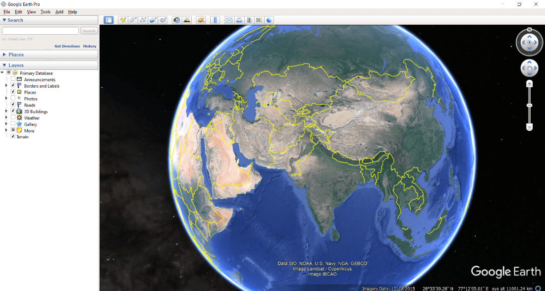
Google Earth Pro software is the advanced desktop version of Google's popular virtual globe application. While millions of people use the web or mobile versions to find directions or look at their neighborhoods, the Pro desktop edition is designed for power users, educators, urban planners, real estate professionals, and GIS enthusiasts.
Originally sold as an expensive enterprise solution, Google made the Pro software completely free for everyone several years ago. It combines detailed satellite imagery, aerial photography, and geographic information system (GIS) data into a single, downloadable application that runs locally on Windows, Mac, and Linux computers.
Core Features That Set It Apart
The desktop application offers significantly more muscle than its browser-based counterpart. If you need to measure complex areas, create customized presentations, or analyze how a landscape has changed over decades, this is the tool for the job.
Historical Imagery Access
One of the most popular features of the software is the historical imagery slider. By clicking the clock icon on the toolbar, you can travel backward in time. This allows you to view satellite photos of your city, rural plots, or coastal regions spanning decades. Urban planners use this to track city expansion, while environmental scientists monitor deforestation and coastal erosion.
Advanced Measurement and GIS Tools
Google Earth Pro software allows you to go far beyond simple point-to-point distance checks. You can:

- Measure perimeters, radii, and complex polygons in acres, square miles, meters, or feet.
- Import GIS vector data like shapefiles (.shp) and CSV files to visualize demographic data, property boundaries, or infrastructure lines.
- Draw custom paths, add polygons, and drop precise placemarks with custom icons.
High-Resolution Printing and Movie Making
For professionals needing to present their findings, the software lets you print high-resolution images of maps at up to 4800 x 3200 pixels. You can also use the Movie Maker tool to export fly-through animations of your custom tours as MP4 or WMV files, making it easy to embed spatial data into client presentations or educational videos.
How to Download and Install
Getting the application is straightforward, though you should ensure you download it directly from the official Google repository to avoid bundled adware or third-party modifications.
- Visit the official Google Earth download page and navigate to the "Earth versions" section.
- Select "Google Earth Pro on desktop" and click download.
- Accept the terms of service and run the installer executable file.
- Once installed, open the application. If prompted for a license key, you can simply enter your email address and use the key
GEPFREE.
System Requirements and Performance Tips
Because the software renders heavy 3D terrain and massive textures locally, it has higher hardware demands than web-based maps. To ensure smooth performance:
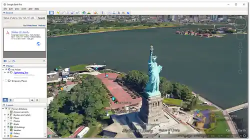
Make sure your computer has a dedicated graphics card with updated drivers. If you experience lagging when tilting the globe or zooming into dense 3D cities, open the software's preferences and lower the graphics quality settings, or disable the atmospheric atmosphere and water surface effects.
Is It Right for Your Project?
If you only need to look up a local business or check driving directions, the standard browser version or mobile app will suffice. However, if your work involves spatial analysis, importing geographic datasets, printing high-DPI maps, or inspecting decades of historical land-use changes, Google Earth Pro software remains an indispensable, completely free addition to your digital toolkit.