Guide to NDOT Traffic Cameras: Live Feeds & Maps
Navigating Nevada’s vast and sometimes unpredictable highway system requires reliable, real-time information. Whether you are commuting daily through the bustling corridors of Las Vegas, crossing the Sierra Nevada near Reno, or embarking on a remote desert road trip, staying informed about road conditions is essential. One of the most effective tools for drivers is the network of ndot traffic cameras operated by the Nevada Department of Transportation.

These strategically placed lenses provide a window into current weather, traffic congestion, accidents, and construction zones. This comprehensive guide will explain how to access these feeds, what information they provide, and how you can use them to optimize your travel.
Understanding NDOT Traffic Cameras and Their Purpose
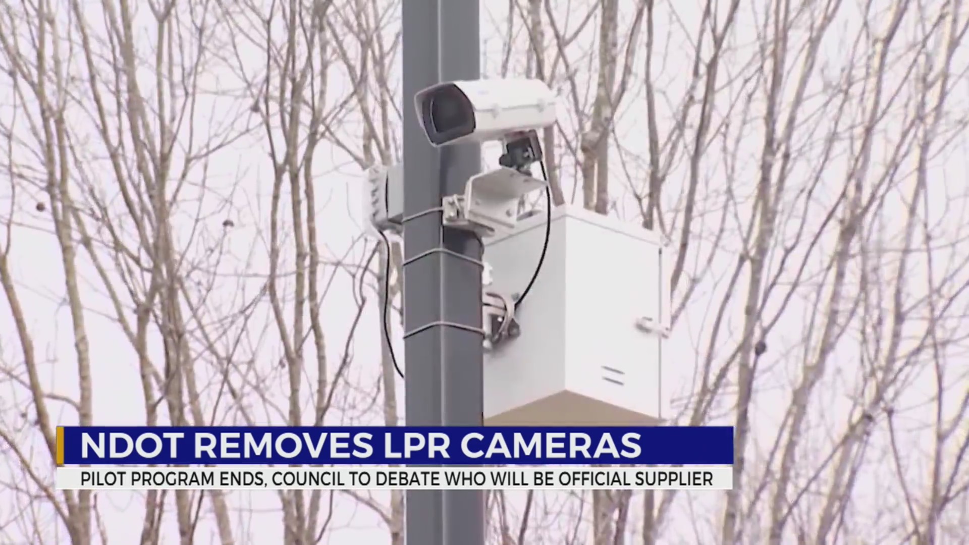
The Nevada Department of Transportation maintains a vast infrastructure of closed-circuit television (CCTV) cameras along major state routes, interstates, and urban freeways. Primarily, these devices are installed to help transportation dispatchers and highway patrol officers monitor traffic flow and respond quickly to accidents or hazards.
However, nearly all of these feeds are made available to the public. By opening up camera access, NDOT empowers drivers to make informed decisions before they ever get behind the wheel. Instead of relying solely on delayed radio reports, motorists can look at actual visual evidence of road conditions.
Where Are the Cameras Located?
NDOT cameras are heavily concentrated in areas with high traffic volume or extreme weather vulnerability. You will typically find them in:
- The Las Vegas Valley: Covering busy stretches of I-15, US-95, the Las Vegas Beltway (I-215), and major surface arterials.
- The Reno-Sparks Area: Monitoring I-80, US-395, and the Spaghetti Bowl interchange.
- Mountain Passes and Rural Routes: Positioned on critical mountain passes like Donner Summit approaches, Mount Rose Highway (SR 431), and remote stretches of US-93 and US-6 where weather can change in minutes.
How to Access Live NDOT Traffic Feeds
Accessing the camera network is entirely free and user-friendly. You do not need to create an account or download obscure software. The primary portals for viewing live feeds include official state resources and authorized third-party applications.
1. The Official NVroads Website
The most comprehensive source for live camera views is the official **NVroads.com** portal. Operated directly by the state, this interactive map interface is the gold standard for Nevada drivers.
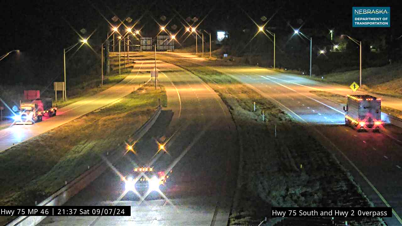
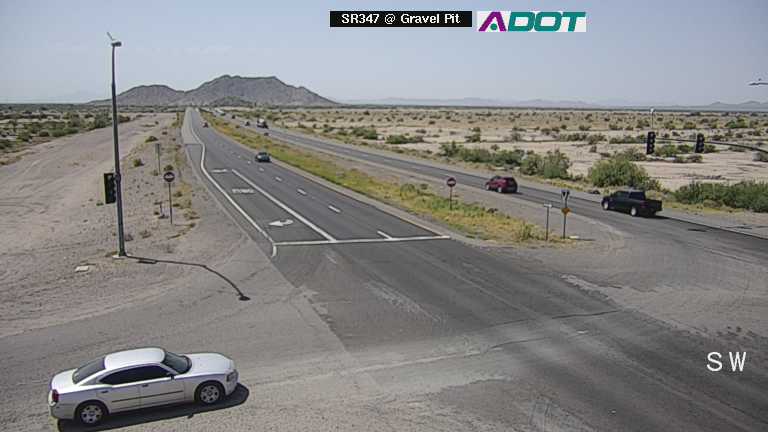
When you visit the site, you can toggle various map layers. By selecting the camera icon, dozens of small video symbols will populate the map. Clicking on any of these icons opens a pop-up window containing a still image—and in many cases, a streaming or frequently refreshed video clip—of that specific stretch of highway.
2. The NVroads Mobile App
If you prefer checking conditions from your smartphone while planning a trip (never while driving), the official NVroads mobile app is available for both iOS and Android devices. It mirrors the desktop mapping system, allowing you to pinch, zoom, and tap on camera feeds along your specific route.

3. Third-Party Mapping Platforms
Major navigation apps like Google Maps, Apple Maps, and Waze integrate various state traffic data feeds. While these apps excel at providing turn-by-turn navigation and automated rerouting based on congestion, checking the direct state camera portals often gives you a more nuanced, visual understanding of *why* traffic is stopped—such as a spilled load, chain controls, or weather-related black ice.
Key Features Available on the NVroads Portal
Beyond simple camera snapshots, the NDOT mapping ecosystem provides a wealth of supplementary data that works hand-in-hand with the visual feeds.
Road Conditions and Chain Controls
During the winter months, mountain passes in Nevada frequently require tire chains or four-wheel drive. The map layers associated with the camera feeds often display color-coded alerts indicating current chain restrictions, icy patches, or snow plow activity.
Construction and Maintenance Zones
Nevada’s booming growth means year-round roadwork. The portal highlights active construction zones, lane closures, and shoulder work. Matching a camera feed with a construction icon helps you estimate just how severe a delay might be.
Dynamic Message Signs (DMS)
Many digital highway signs are mirrored within the traffic data network. You can read the exact warnings being displayed to drivers on the physical overhead boards, such as amber alerts, speed restrictions, or severe weather warnings.
Tips for Using Traffic Feeds Safely and Effectively
To get the most out of the state's traffic monitoring infrastructure, keep these practical tips in mind:
- Check Before You Go: Always review your route on the map before leaving your home or office. Never attempt to view traffic camera websites or stream video while actively operating a motor vehicle.
- Understand Image Refresh Rates: Most NDOT cameras provide high-definition still images that refresh every few minutes rather than a continuous, high-framerate live video. Keep this in mind when gauging the speed of traffic movement.
- Cross-Reference Weather Reports: Desert winds can cause sudden dust storms, and mountain elevations can experience rapid freezing rain. Use weather forecasts in tandem with camera visuals to anticipate changing road conditions.
- Save Favorite Routes: If you commute daily, bookmark specific camera links or save frequent routes in the mobile app for quick, one-tap access before your morning drive.
Conclusion
The network of ndot traffic cameras is an invaluable, free resource for anyone traveling across the Silver State. By taking advantage of tools like NVroads.com and the official mobile app, you can bypass frustrating delays, prepare for hazardous weather, and ensure a safer journey across Nevada's highways. Make checking the live feeds a standard part of your pre-trip routine, and stay a step ahead of unexpected road conditions.