Historical Weather Radar: How to Access Past Data
Introduction to Historical Weather Radar

Whether you are investigating property damage from a severe thunderstorm years ago, conducting climate research, or simply satisfying your curiosity about a historic blizzard, accessing historical weather radar is essential. Unlike standard weather observations that only provide temperature and precipitation totals at ground stations, radar imagery reveals the dynamic movement, intensity, and structure of storms in real time—and thankfully, much of this past data is preserved in digital archives.
For decades, meteorologists and researchers have relied on archived radar scans to reconstruct events, improve forecasting models, and verify severe weather reports. Today, advancements in cloud storage and public data initiatives mean that everyday citizens, insurance adjusters, and attorneys can also access these detailed meteorological records.
Understanding Weather Radar Archives
To effectively use historical weather radar, it helps to understand how data is collected and stored. Modern radar networks, such as the United States' NEXRAD (Next-Generation Radar) system operated by the National Weather Service (NWS), continuously sweep the atmosphere, gathering vast amounts of binary data known as Level II and Level III products.
Level II vs. Level III Data
When searching archives, you will often encounter two primary tiers of radar data:
- Level II Data: This is the raw, uncompressed data straight from the radar site. It includes base reflectivity, radial velocity, and spectrum width at high resolution. It is typically used by meteorologists and advanced researchers who want to run custom analysis software or create their own visualizations.
- Level III Data: This is processed and compressed data designed for broader distribution. It includes standard products like base reflectivity, storm total precipitation, and velocity azimuth display wind profiles. Level III data is much easier to view using standard weather software and web applications.
Where to Find Free Historical Weather Radar Data
Several reputable platforms offer public access to historical radar archives. Depending on your technical skill and the specific date you are looking for, some tools will serve your needs better than others.
1. NOAA National Centers for Environmental Information (NCEI)
The NCEI maintains the most comprehensive archive of U.S. weather data. Through their online data access portal, users can search for NEXRAD radar data by station identifier, date, and time. While the interface can feel a bit technical for beginners, it is the definitive source for raw, unedited radar files.
2. Iowa Environmental Mesonet (IEM)
Hosted by Iowa State University, the IEM provides a user-friendly gateway to past weather data. Their radar archive tools allow you to generate GIFs and animations of past storms quickly without needing to download specialized meteorological software.
3. College and University Meteorological Archives
Many university atmospheric science departments host mirror sites of radar archives. Institutions like the University of Oklahoma and the University Corporation for Atmospheric Research (UCAR) provide robust data portals that often feature simplified visualization tools.

Tools for Viewing Past Radar Scans
Once you download raw radar files (usually ending in extensions like .ar2v or compressed tarballs), standard image viewers will not open them. You will need specialized software to render the binary data into readable maps.
- WDSS-II: Developed at the National Severe Storms Laboratory, this suite of tools is powerful for analyzing severe weather events.
- GRLevelX: A popular commercial software suite among storm chasers and meteorologists that provides smooth rendering of Level II and Level III data with interactive time controls.
- QGIS: With meteorological plugins, open-source GIS software can also be used to map and analyze historical radar layers alongside other geospatial data.
Common Use Cases for Historical Radar
People access past radar data for a variety of professional and personal reasons. Understanding these applications can help clarify what kind of data you might need.
Insurance Claims and Legal Proceedings
Insurance adjusters and forensic meteorologists frequently use historical radar to verify the exact time and intensity of hail, high winds, or tornadoes at a specific property address. This helps determine the validity of property damage claims.
Aviation and Marine Investigations
Investigators reviewing past aviation incidents or marine accidents rely heavily on radar archives to recreate the weather conditions pilots or captains faced along their routes.
Climatological Research
Researchers studying long-term shifts in storm tracks, precipitation patterns, or the frequency of extreme weather events use decades of archived radar data to spot macro-trends.
Limitations of Older Radar Data
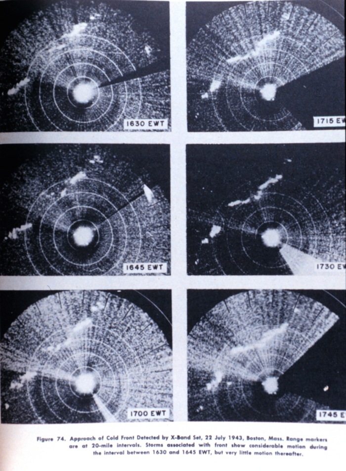
While modern dual-polarization radar provides incredible detail, researching older events comes with certain caveats. Prior to the nationwide deployment of NEXRAD in the late 1980s and 1990s, radar technology relied on older analog systems (such as the WSR-57). These older systems had lower resolution, lacked digital archiving for many minor events, and suffered from significant blind spots.
Furthermore, beam blockage from growing urban skylines or terrain can affect the quality of historical scans from specific radar sites over long periods.
Conclusion
Accessing historical weather radar is easier today than ever before, thanks to open-source government archives and digital mapping tools. Whether you are building a case for insurance, researching a memorable storm from your childhood, or studying atmospheric science, platforms like the NOAA NCEI and Iowa Environmental Mesonet provide the keys to looking back into the skies.