Hourly Forecast Tampa Florida: Daily Weather Guide
Whether you are planning a trip to Busch Gardens, charting a boat across the bay, or catching a ballgame downtown, checking an accurate hourly forecast in Tampa, Florida is more than just a convenience—it is an absolute necessity. Tampa’s subtropical climate produces dramatic swings in atmospheric conditions, often transforming a cloudless blue morning into a raging convective storm and back to a calm, glowing sunset, all within a matter of hours.
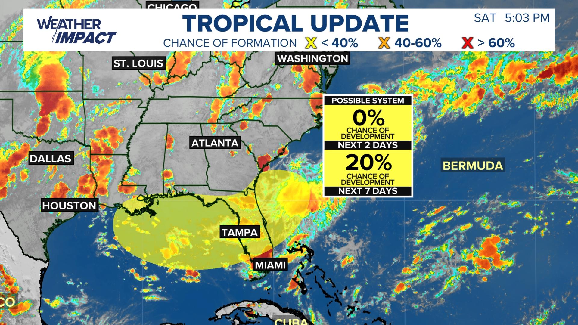
Understanding how the hourly weather cycle works in the Tampa Bay area allows you to outsmart sudden downpours, avoid dangerous lightning strikes, and make the most of your time outdoors.
The Anatomy of Tampa’s Daily Weather Cycle
Tampa's weather is governed by a delicate interplay between high heat, intense humidity, and the collision of coastal air masses. Unlike inland regions where weather patterns tend to evolve over broad stretches of time, Tampa operates on distinct diurnal (day-to-night) rhythms.
On an hourly basis, a typical Tampa day unfolds through several meteorological phases:
- Early Morning (6:00 AM – 9:00 AM): Temperatures sit at their lowest daily point, often accompanied by humidity levels exceeding 90%. Fog or low stratus clouds can occasionally drift in from the Gulf of Mexico, burning off quickly as solar heating begins.
- Midday Ramp-Up (10:00 AM – 1:00 PM): Surface temperatures surge rapidly into the upper 80s or lower 90s. As the land heats faster than the adjacent waters of Tampa Bay and the Gulf, a thermal low develops over central Florida, setting the stage for coastal breezes.
- Peak Convective Window (2:00 PM – 6:00 PM): This is the prime window for active weather. The sea breeze front pushes inland, colliding with winds from the Atlantic coast to trigger intense, localized cloudbursts, severe lightning, and sudden temperature drops.
- Evening Stabilization (7:00 PM – 10:00 PM): Rain-cooled air dissipates the storm clouds. The atmosphere stabilizes, winds fall light, and lingering humidity creates warm, balmy nights.
Decoding the Hourly Forecast in Tampa Florida by Season
A single hourly forecast model will read very differently depending on the month. Tampa does not experience four conventional seasons; instead, its calendar revolves around a wet summer season and a dry winter season, bookended by transitional spring and fall periods.
The Summer Wet Season (June through September)
During the height of summer, an hourly forecast showing a "40% chance of rain" does not mean it will rain for 40% of the day. In Tampa, that probability almost universally targets the late afternoon.
Expect morning hours to offer reliable sunshine, high UV indexes (routinely reaching 10 or 11), and oppressive dew points in the mid-70s. By 2:00 PM, towering cumulus clouds develop inland and along the breeze boundaries. Rainfall rates during these storms can exceed two inches per hour, blinding drivers on the Howard Frankland Bridge and causing rapid street flooding in low-lying neighborhoods like South Tampa and Ybor City. By 7:00 PM, conditions usually clear completely.
The Winter Dry Season (December through February)
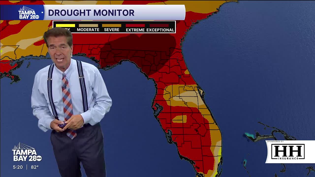
Winter brings an entirely different dynamic. Instead of localized convective storms, hourly changes are dictated by continental cold fronts sweeping down from the north. Ahead of a front, southwesterly winds raise humidity and produce gray, overcast mornings. Once the frontal boundary clears the peninsula, winds pivot hard from the northwest, dropping relative humidity and sending temperatures tumbling by 15 to 25 degrees over a four- to six-hour span.
Hourly forecasts in winter are generally stable for days at a time, featuring crisp morning lows in the lower 50s (or upper 40s during strong cold snaps) and pleasant afternoon highs in the low 70s under dry, cloudless skies.
Spring and Autumn Transitions
April and May mark Tampa’s driest, sunniest stretch of the year. Rain is scarce on the hourly charts, but rising temperatures and persistent sea breezes make early afternoons windy. October and November provide sweet relief from summer mugginess, with steadily falling dew points and moderate breezes that make all-day outdoor events comfortable.
Key Metrics to Watch in an Hourly Tampa Forecast
When reviewing hourly weather predictions for Tampa, the ambient air temperature tells only part of the story. Pay close attention to these vital indicators:
- Heat Index ("Feels Like"): High humidity prevents sweat from evaporating efficiently. On a typical July afternoon at 92°F, a 75°F dew point pushes the heat index past 105°F. Plan strenuous activity for before 10:00 AM.
- Dew Point: A dew point below 60°F feels crisp and comfortable. A dew point between 60°F and 69°F feels distinctly humid, while anything 70°F or higher indicates the heavy, tropical air mass that fuels pop-up storms.
- Wind Direction: A westerly wind pushes the Gulf sea breeze inland, keeping coastal Tampa slightly cooler while shifting severe storms eastward toward Lakeland and Orlando. An easterly wind pins the storms against the west coast, resulting in late-afternoon gridlock and torrential rain over downtown Tampa and St. Petersburg.
- Precipitation Probability (PoP): Look at the curve across the 12-hour timeline. A spike from 10% at noon to 60% at 3:00 PM is the classic signature of the sea breeze collision.
Practical Tips for Planning Your Day Around Tampa Weather
Navigating Tampa’s climate requires flexibility and situational awareness. Whether you are commuting or vacationing, apply these strategic rules to your daily schedule:
- Schedule Outdoor Attractions Early: If you are heading to the Florida Aquarium, ZooTampa, or Busch Gardens, arrive at rope drop. You will enjoy lower temperatures, shorter lines, and minimal risk of ride closures due to afternoon lightning shutdowns.
- Respect the 30/30 Rule: Tampa sits in the heart of "Lightning Alley." Lightning can strike up to 10 miles away from the center of a storm. When the hourly radar indicates incoming storm cells, seek substantial shelter immediately if the time between a flash and thunder is under 30 seconds.
- Monitor Microclimates: Weather conditions can vary drastically across the Tampa Bay area. A torrential squall may completely submerge Kennedy Boulevard in Tampa, while Clearwater Beach just 20 miles to the west remains completely sunny under a stabilizing marine layer. Always check the hyper-local radar rather than relying solely on a regional summary.
- Check Boating Forecasts for Marine Hazards: Boaters entering Tampa Bay or heading into the Gulf must review hourly marine forecasts for wind-against-tide chop, squall lines, and dangerous water spouts, which can form rapidly along convective boundaries in the bay during late summer mornings.
Staying Prepared
Modern weather forecasting has eliminated much of the guesswork from daily life in west-central Florida. By monitoring the hourly forecast alongside live Doppler radar, you can easily work around afternoon showers, stay safe during extreme heat, and enjoy the best of what Tampa has to offer all year round.