Image Mate Rensselaer County: Property Search Guide
Navigating public property records in Upstate New York can sometimes feel overwhelming, but tools like ImageMate Rensselaer County make the process straightforward. Whether you are a homeowner verifying your property assessment, a real estate investor researching a potential buy, or a title researcher tracking down parcel history, the ImageMate online database provides public access to municipal data right from your browser.

This guide covers how to access the system, what kind of information you can find, and practical tips for running effective property searches in Rensselaer County, NY.
Understanding ImageMate Rensselaer County
ImageMate Online is a software platform utilized by many municipalities and county governments across New York State to host their Real Property Tax Service data. Operated through partnerships with software providers like Barton & Loguidice or Systems Development (SDI), the portal serves as a digital repository for local assessment rolls.
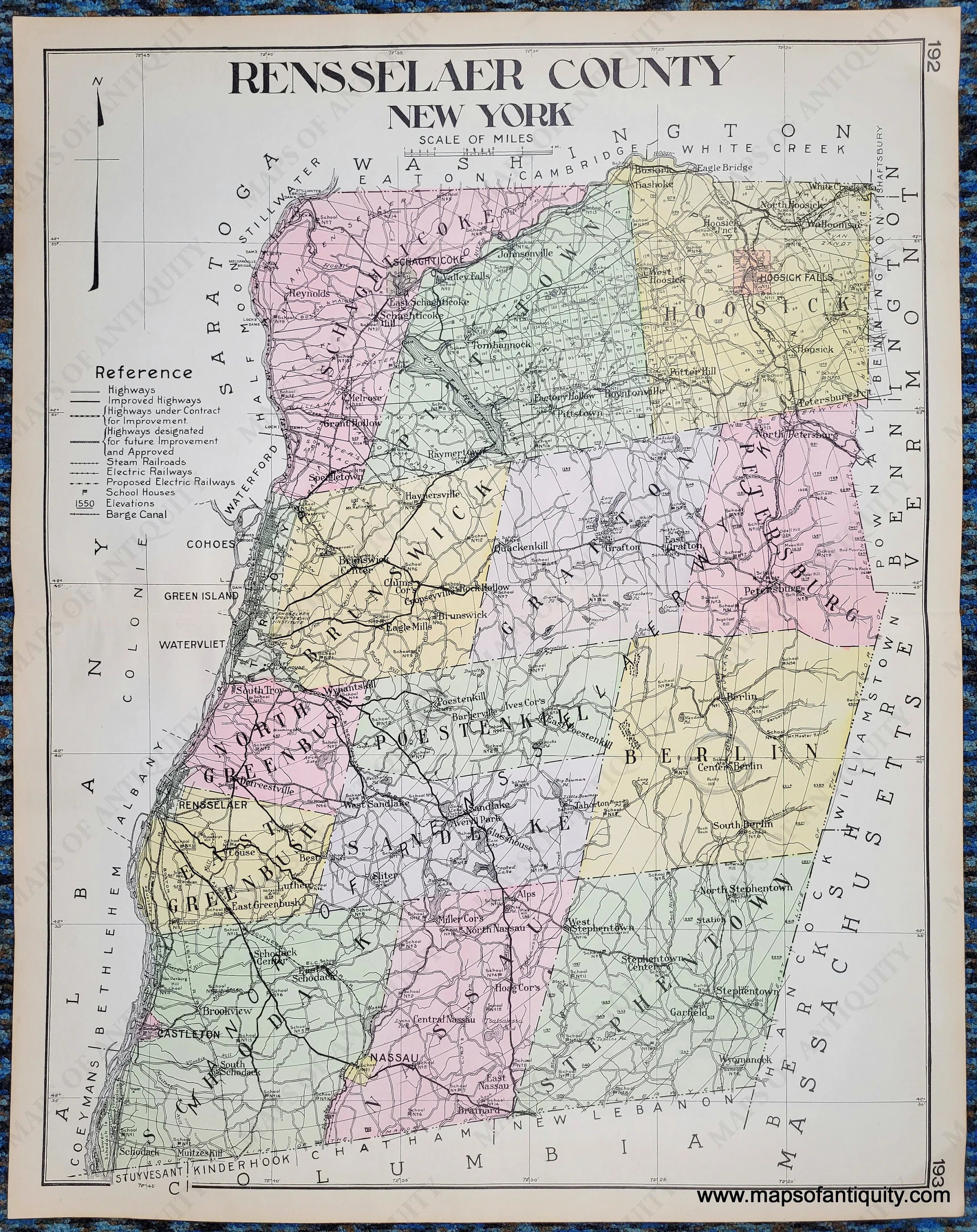
For Rensselaer County, the database aggregates records from multiple towns, cities, and villages within the county borders—including Troy, East Greenbush, Brunswick, Schodack, and Hoosick. Instead of traveling to the county office building or local town halls to flip through paper assessment rolls, citizens can access comprehensive property cards online at any time.
How to Perform a Property Search
Using the portal is designed to be user-friendly, but knowing the right search parameters saves time. When you land on the search page, you are typically presented with several criteria options to help narrow down your results.
Key Search Criteria Available
- Owner Name: Search by last name and first name. This is useful if you know who owns a specific parcel.
- Street Address: Enter the house number and street name. Be sure to omit directional abbreviations or suffixes if the system prompts you (e.g., typing "Main" instead of "Main St").
- Parcel ID / SBL Number: The Section-Block-Lot (SBL) number is the unique identifier assigned by the county to every piece of real estate. If you have a tax bill or deed, this is the most precise way to find a record.
Once you enter your search terms, the system generates a list of matching properties. Clicking on a specific result opens up the detailed property report card.
What Data Can You Find on a Property Card?
The individual property report card is the core of ImageMate Rensselaer County. It contains a wealth of public data that can help you understand a parcel's physical traits, financial valuations, and tax status.
Assessment and Financial Data
The financial section displays the current total assessed value of the property, as well as the uniform percentage of value used by the municipality. You will also see the taxable value for county, town, and school districts. If the property benefits from any exemptions—such as STAR (School Tax Relief), veterans exemptions, or agricultural exemptions—they are usually listed here along with their corresponding values.

Physical Characteristics
For residential and commercial buildings, the database provides structural details recorded by the assessor's office. This includes:
- Year built
- Total square footage of living space
- Number of bedrooms and bathrooms
- Type of heating and cooling systems
- Exterior wall material and roof type
- Acreage of the land parcel
Tax History
Most municipal portals linked through ImageMate show historical tax information. Users can view past tax bills, payment statuses (whether current year taxes have been paid or are delinquent), and a breakdown of how tax dollars are allocated among local taxing jurisdictions.
Using Mapping Tools and GIS Features
Many iterations of ImageMate integrate with GIS (Geographic Information System) mapping tools. When viewing a property record, you may find a link to view the parcel on a county map.
This aerial or vector map view allows you to:
- Inspect property boundaries and lot lines.
- View surrounding parcels and neighboring owners.
- Check for proximity to water bodies, wetlands, or flood zones.
- Measure distances and acreage visually.
The map interface is particularly helpful for prospective buyers who want to verify the exact shape and dimensions of a lot before making an offer.
Tips for Troubleshooting Common Search Issues
If you are having trouble locating a property on the Rensselaer County database, keep these troubleshooting tips in mind:
- Check spelling: Street names or owner names misspelled by even one letter can cause a search to fail. Try broadening your search by entering only the street name without the house number.
- Recent sales: If a property was sold very recently, the deed transfer may still be processing. It can take weeks or months for municipal assessment rolls to update following a sale.
- Check municipality filters: Some search portals require you to select a specific town or city within Rensselaer County before running a search, while others let you search the entire county at once. Make sure your geographic filters are set correctly.
Conclusion
The ImageMate Rensselaer County database is an essential, transparent resource for anyone needing property-related data in the region. By understanding how to navigate SBL numbers, property cards, and GIS mapping features, you can quickly find accurate assessment values, tax histories, and structural details for homes and land throughout the county.