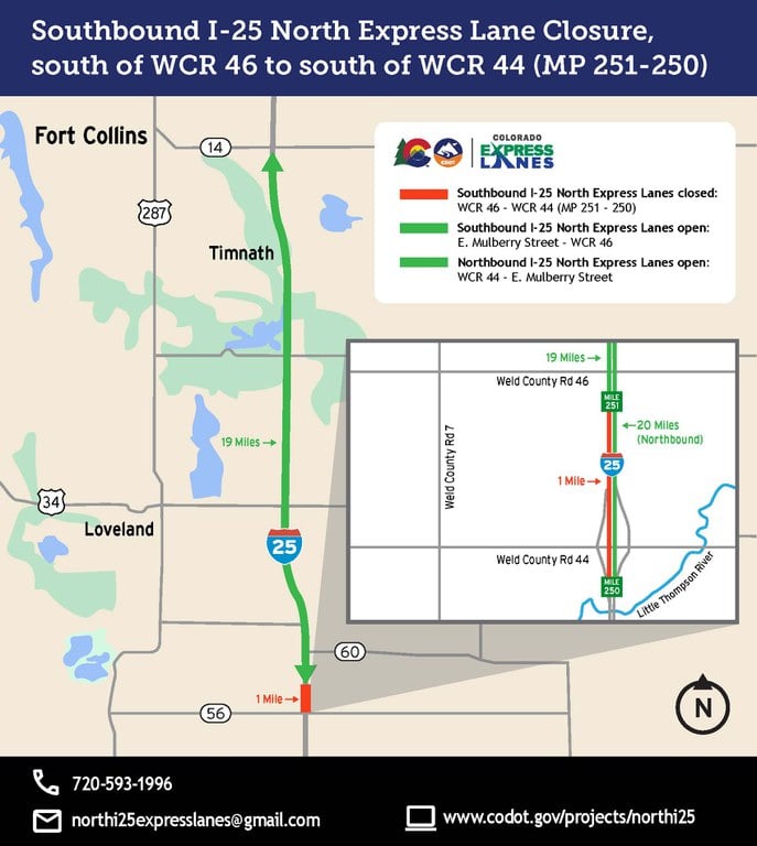
Is I 25 Closed in Colorado Today? Live Road Updates
If you are traveling along Colorado's Front Range and asking is I 25 closed in Colorado today, the fastest answer depends on current weather, active accidents, and CDOT maintenance. Interstate 25 spans nearly 300 miles across the state—from the Wyoming border in the north down to New Mexico in the south. Because conditions change within minutes, relying on static news reports can leave you stranded. Here is everything you need to check real-time highway statuses, understand common closure zones, and navigate your route safely.
How to Check If I 25 Is Closed in Colorado Today
The Colorado Department of Transportation (CDOT) is the official authority governing state highway closures. Before heading out, use these live resources to confirm whether I-25 is open:
- COtrip.org: The gold standard for Colorado highway conditions. COtrip provides a real-time interactive map displaying active closures, road work, traffic speeds, and incidents.
- The COtrip Planner App: Available for iOS and Android, this app provides push alerts for major corridor shutdowns, hands-free travel audio updates, and camera views.
- Call 511: If you are already driving or lack reliable data service, dial 511 within Colorado to hear automated, real-time travel alerts for specific stretches of I-25.
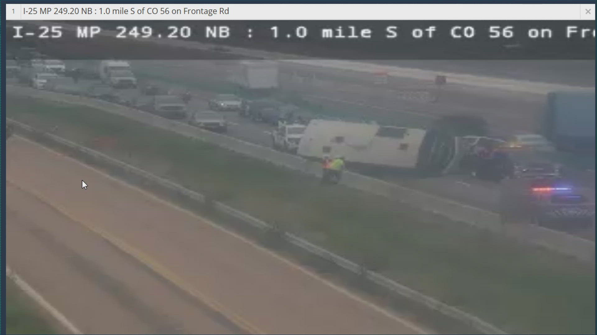
- CDOT Live Traffic Cameras: Inspect road surfaces visually. If the camera feeds show heavy snow accumulation, stalled plows, or stationary traffic, delays or imminent closures are likely.
- Social Media Alerts: Follow @ColoradoDOT on X (formerly Twitter) for breaking announcements on safety closures, multi-car pileups, and estimated reopening times.
High-Risk Zones Where I-25 Closes Most Often
While an accident can close lanes anywhere between Fort Collins and Pueblo, severe weather typically causes complete highway closures at specific geographical choke points.
1. Monument Hill (Mile markers 158 to 163)
Located between Castle Rock and Colorado Springs, Monument Hill reaches an elevation of approximately 7,352 feet. This section regularly experiences rapid weather shifts. When storm systems hit the Palmer Divide, rain in Denver or Colorado Springs often turns into heavy, blowing snow and black ice on the hill. CDOT frequently shuts down I-25 here during winter storms due to spinouts, jackknifed commercial trucks, and zero-visibility whiteout conditions.
2. Northern I-25 / Wyoming Border (Fort Collins to Cheyenne)
The open plains between Wellington, Colorado, and the Wyoming state line are notorious for extreme crosswinds. Wind gusts routinely exceed 60 mph, creating severe ground blizzards during winter and blowing over high-profile vehicles like tractor-trailers, RVs, and campers. CDOT and the Wyoming Highway Patrol often coordinate mutual closures from Fort Collins north when conditions become impassable.
3. Raton Pass (Mile markers 0 to 11)
At the southern end of the state near Trinidad, I-25 climbs to 7,834 feet as it crosses into New Mexico over Raton Pass. Steep grades combined with sudden alpine snowstorms make this pass difficult for heavy freight and passenger vehicles alike. Closures here can last several hours until plows clear the roadway and treat ice.
4. Central Denver Metro Corridor
Unlike the rural stretches, Denver-area closures are rarely weather-only events. They are usually caused by severe crashes, chemical spills, or major emergency response operations. Heavy congestion along sections like the Central 70 interchange or the Broadway curve can force temporary lane closures or full detours onto city boulevards.
Colorado Traction Law Requirements on I-25
During active winter weather, CDOT may implement passenger vehicle traction laws on sections of I-25—especially across Monument Hill and Raton Pass. Driving without compliant tires during an active Traction Law can lead to heavy fines, which increase significantly if your vehicle blocks traffic.
- Code 15 (Passenger Vehicle Traction Law): All motorists must have either 4WD/AWD with at least 3/16-inch tire tread depth, or a 2WD vehicle with winter-rated tires (mountain-snowflake or M+S designation) featuring 3/16-inch tread. Alternative traction devices, such as tire chains or tire socks, are also accepted.
- Code 16 (Passenger Vehicle Chain Law): Activated during extreme conditions. Every vehicle must have chains, auto-socks, or approved traction devices installed on drive tires. When this is enacted, a full highway closure often follows shortly if conditions worsen.
- Commercial Vehicle Chain Law: Commercial trucks must chain up at designated pull-off areas before ascending steep portions of I-25. Failure to chain up is a primary cause of jackknifed rigs that prompt complete road shutdowns.
Common Reasons for Unexpected I-25 Closures
Beyond seasonal snow and ice, several other events trigger CDOT closures on Interstate 25:
- Safety Closures: When accidents begin piling up faster than emergency crews can clear them, CDOT initiates a preventative safety closure to stop incoming traffic from entering the hazard zone.
- High-Profile Vehicle Restrictions: During severe wind events along the northern corridor, CDOT often bans high-profile, light-load vehicles. If non-compliant trucks roll over, the highway is closed while heavy wreckers clear the wreckage.
- Flash Floods: Heavy summer monsoons can send water and mud rushing across depressed sections of I-25 in urban areas or near wildfire burn scars, requiring temporary shutdowns for debris removal.
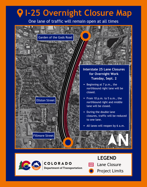
- Planned Overnight Work: Major bridge rehabilitation, resurfacing, or lane-widening projects sometimes necessitate complete directional closures between 10:00 PM and 5:30 AM.
What to Do If I-25 Closes Ahead of You
If you encounter an active closure on I-25, careful decision-making will keep you safe and prevent unnecessary delays:
- Do Not盲目Follow Secondary Country Roads: GPS apps frequently route motorists onto narrow, unpaved rural roads (such as rural routes around the Palmer Divide) to bypass highway backups. During winter storms, these secondary roads are rarely plowed, lack cell service, and quickly trap drivers in deep snowdrifts.
- Find Safe Shelter: If a safety closure or blizzard shuts down the highway, pull off into the nearest town or travel center (e.g., Castle Rock, Larkspur, Pueblo, or Wellington) and wait out the closure.
- Keep an Emergency Winter Kit: Ensure your car has a full tank of fuel, warm blankets, drinking water, high-calorie snacks, a portable phone charger, and a small shovel. If traffic stalls for hours in sub-freezing temperatures, staying warm inside your vehicle is critical.
Summary: Checking Status Before You Drive
Before putting your vehicle in drive, pull up COtrip.org or dial 511. Whether navigating Monument Hill during a winter squall or traveling the plains toward Wyoming, real-time CDOT updates remain the most dependable way to know whether I-25 in Colorado is open, restricted, or closed today.