KWCH Radar Weather: Live Kansas Storm Tracking Guide
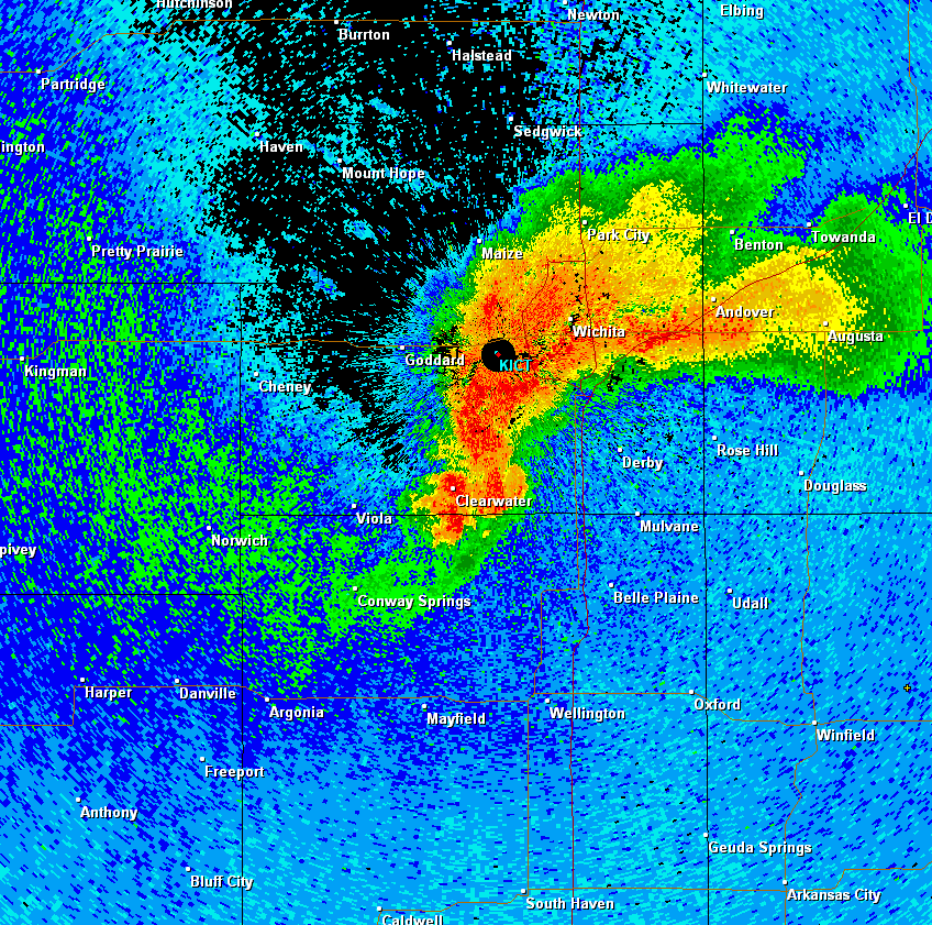
When turbulent weather bears down on the Central Plains, having fast, localized meteorological data is critical. For residents across central and western Kansas, monitoring kwch radar weather provides a reliable, minute-by-minute look at developing supercells, winter blizzards, and severe squall lines. Operated by KWCH 12—the CBS affiliate based in Wichita and branded as Storm Team 12—this regional radar network translates complex atmospheric readings into actionable safety information.

Understanding KWCH Radar Weather and Coverage
Kansas sits squarely within Tornado Alley, an area where cold Canadian air routinely clashes with warm, humid moisture from the Gulf of Mexico. This dynamic clash creates explosive conditions that require high-resolution, local radar monitoring rather than broad national overviews.
KWCH 12 maintains a broadcast footprint that spans across roughly two-thirds of Kansas. While based in Wichita, its radar and reporting network covers diverse population centers and rural agricultural hubs, including:
- South Central Kansas: Wichita, Hutchinson, Newton, El Dorado, and Winfield.
- North Central Kansas: Salina, McPherson, and Concordia.
- Central and Western Plains: Great Bend, Hays, Dodge City, and Garden City.
Because severe storms in Kansas can initiate rapidly in western counties and accelerate eastward toward Interstate 135 and Interstate 35, the KWCH interactive radar serves as an essential tracking pipeline for suburban and rural communities alike.
Key Features of Modern Doppler Radar
Modern weather tools offer far more than simple green, yellow, and red patches. KWCH utilizes dual-polarization Doppler radar technology, which emits horizontal and vertical pulses to determine not just where precipitation is falling, but what type of precipitation it is. Understanding these core radar products helps you interpret live maps with confidence.
1. Base Reflectivity vs. Composite Reflectivity
Standard reflectivity displays the amount of transmitted energy reflected back to the radar antenna by precipitation particles:
- Base Reflectivity: Shows precipitation at the lowest angle of the radar beam. This provides the most accurate view of what is actually hitting the ground or hovering just above it near your neighborhood.
- Composite Reflectivity: Combines data from multiple radar scan elevations into a single image. This highlights the strongest parts of the storm, revealing whether intense precipitation or hail cores are suspended high within the storm cloud before they drop.
2. Storm Velocity and Shear Detection
Velocity data measures the motion of wind toward (usually displayed in green) or away from (displayed in red) the radar tower. When bright green and bright red pixels appear tightly adjacent to one another, meteorologists call this a "couplet." A velocity couplet indicates rapid rotation inside the storm, signaling the potential formation of a tornado or strong meso-cyclone.
3. Correlation Coefficient (Tornado Debris Signatures)
Dual-polarization technology tracks the uniformity of shapes in the air. Raindrops and hailstones produce high correlation values. When a tornado touches down and lofts structural debris, sheet metal, and tree branches into the sky, the correlation coefficient drops sharply in the exact location of the velocity couplet. This Tornado Debris Signature (TDS) confirms a tornado on the ground, even in pitch-black night or behind heavy curtains of rain.
How to Read Severe Signatures on the Radar

Watching weather radar during a high-risk afternoon can feel intimidating. Knowing the visual footprints of severe phenomena helps you take prompt protective action.
Supercell Hook Echoes
A classic supercell thunderstorm often develops a counter-clockwise "hook" pattern on its southern or southwestern flank. This hook forms as rain and hail wrap around the storm’s strong updraft. While not every hook contains a tornado, any well-defined hook echo warrants immediate vigilance.
Bow Echoes and Straight-Line Winds
Not all severe damage stems from tornadoes. Linear complexes known as Mesoscale Convective Systems (MCS) frequently sweep across Kansas during the summer months. When a line of storms bows outward like an archer's bow, it indicates an intense downdraft producing straight-line winds that can exceed 70 to 80 miles per hour, capable of downing trees and power lines across wide swaths of land.
Hail Cores
Radar reflectivity measured in decibels (dBZ) indicates storm intensity. When radar returns show deep purple, white, or pink cores—often exceeding 60 to 65 dBZ—large, damaging hail is almost certainly falling or suspended aloft. In Kansas, these cores can drop golf ball to baseball-sized stones capable of puncturing roofs and shattering windshields.
Tracking Kansas Winter Storms
Radar tracking is just as vital between November and March. Winter weather in Kansas frequently features complicated rain-to-snow transition zones:
- Freezing Rain Bands: Appears on radar similarly to light or moderate rain, but ground temperatures below 32°F cause immediate glazing on highway overpasses and tree limbs.
- Sleet and Ice Pellets: Shows up with moderate reflectivity, often flagged by dual-pol data as irregular hydrometeors.
- Heavy Snow Bands: Displayed in softer blue and cyan shades. Even lower dBZ values (20–35 dBZ) in winter can translate to snowfall rates of one to two inches per hour due to low density and high water content.
Optimizing Mobile Access and Weather Alerts
Relying solely on a desktop computer during a storm poses risks, particularly if power lines fail. Making full use of KWCH radar tools requires setting up mobile redundancy before severe weather develops:
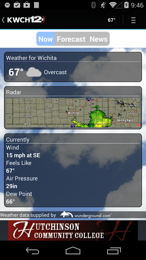
- Install Dedicated Station Apps: The KWCH Storm Team 12 app delivers interactive radar layers, lightning strike locators, and future-scan projections directly to your smartphone.
- Enable Exact Location Permissions: Set your weather alerts to "Always Allow" or precise GPS location rather than static county-wide settings. This ensures you receive warnings if a storm threatens your specific coordinates while traveling.
- Configure Push Notifications: Verify that warnings for Severe Thunderstorms, Flash Floods, and Tornadoes bypass silent or "Do Not Disturb" settings during nighttime hours.
- Maintain a Battery Backup: Keep an external power bank fully charged and maintain a dedicated NOAA Weather Radio as an independent audio backup in case cellular towers become congested or damaged.
Turning Radar Data into Timely Action
A live radar screen is a diagnostic tool, not a substitute for official National Weather Service warnings. When monitoring storms on radar, keep the operational difference between advisory products clear:
- Watch (Tornado or Severe Thunderstorm): Atmospheric ingredients are favorable for severe weather to form over the next several hours. Keep radar open and review your family sheltering plan.
- Warning: Severe weather is imminent or occurring based on radar signatures or ground spotter reports. Move immediately to a basement, storm shelter, or interior windowless room on the lowest floor.
By pairing live radar interpretation with prompt emergency responses, Kansas residents can anticipate sudden atmospheric shifts, protect their homes, and stay safe through the state's most challenging weather patterns.