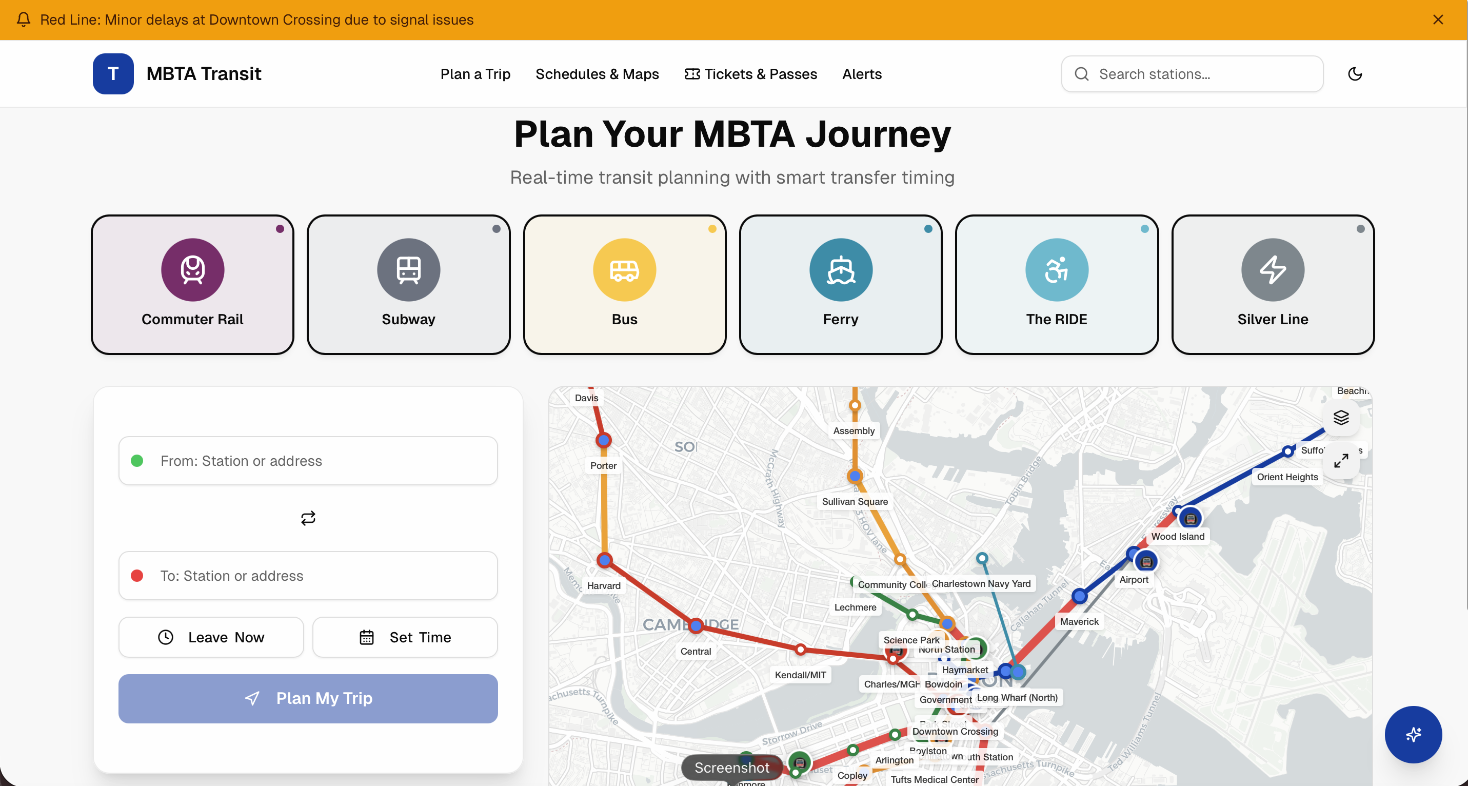
Master Boston Transit with the MBTA Trip Planner
Boston is a historic, vibrant city that rewards exploration on foot, but when you need to cross the Charles River, escape the summer heat, or beat the morning rush hour, you need public transit. Whether you are a daily commuter or a weekend tourist visiting Fenway Park, mastering the transit system is essential. Enter the MBTA Trip Planner, your ultimate digital compass for navigating the Hub with total confidence.
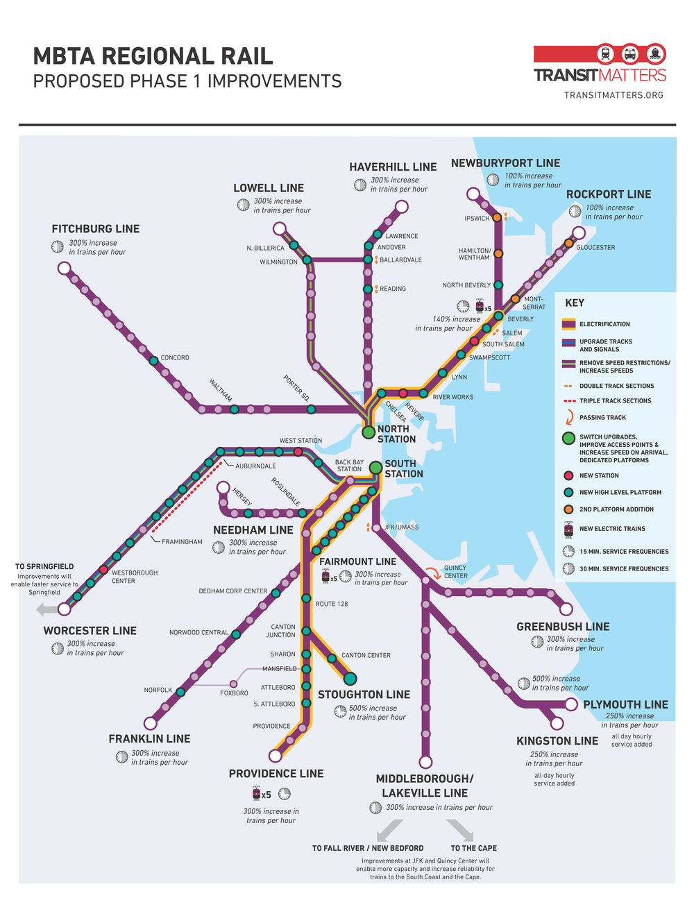
While Boston's subway system—affectionately known as 'the T'—is the oldest in the nation, its routing technology is thoroughly modern. This comprehensive guide will show you how to leverage official and third-party mapping tools, understand schedules, decode transit alerts, and travel through Massachusetts' capital like a seasoned local.
Why You Need the MBTA Trip Planner
Navigating Boston without a plan is a quick way to end up on the wrong side of the city. The MBTA network encompasses heavy rail (Red, Orange, and Blue lines), light rail (Green Line branches), commuter rail lines stretching far into the suburbs, an extensive bus network, and even ferry routes. Keeping track of all these moving parts manually is nearly impossible.
A dedicated trip planner does the heavy lifting for you by combining real-time vehicle locations, scheduled timetables, and walking directions. Instead of guessing whether the next inbound Green Line train is two minutes or twenty minutes away, you get precise, data-backed itineraries tailored to your exact departure or arrival time.
How to Access and Use the Planner
You don't need to download a single, clunky app to get started, though mobile options are available. The Massachusetts Bay Transportation Authority provides robust digital routing tools directly on its official website, and the system is fully integrated into popular mapping applications like Google Maps and Apple Maps.
- Official MBTA Website: Features a built-in trip planning widget on the homepage that allows you to input specific start and end addresses.
- Transit Apps: Real-time applications like Transit, Citymapper, and Google Maps pull live GTFS (General Transit Feed Specification) data straight from the MBTA feed.
- Station Kiosks and Signage: Digital countdown clocks are installed at most subway and rapid transit stations for quick, on-the-go checks.
Step-by-Step Route Building
To get the most accurate results from your planning tool, follow these simple steps:
- Enter Exact Locations: Use specific street addresses, intersection names, or well-known Boston landmarks (e.g., 'Faneuil Hall' or 'Harvard Square') rather than vague neighborhood names.
- Set Your Target Time: Choose whether you want to leave immediately or arrive by a specific time for an appointment, flight, or museum reservation.
- Customize Preferences: Filter your results by mode of transportation if you want to avoid buses, minimize walking distance, or stick strictly to accessible stations.
Decoding Boston's Transit Lines
To truly navigate Boston like a boss, you need to understand what the planner is telling you on your screen. Here is a quick breakdown of the core systems you will encounter:
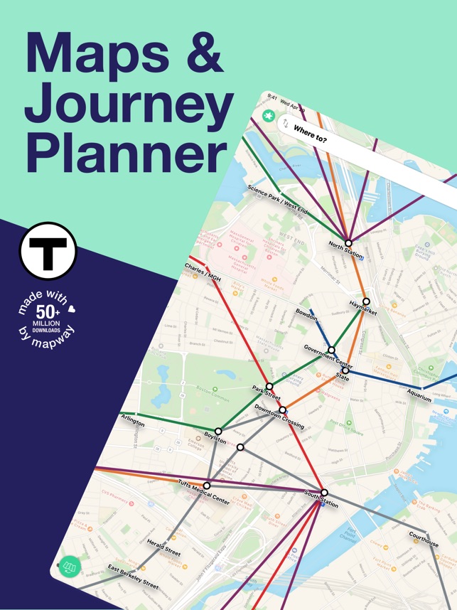
- The Rapid Transit Lines: Red, Orange, Blue, and Green. Pay close attention to the Green Line branches (B, C, D, and E), as they split into different suburbs after passing through the central subway trunk.
- The Silver Line: A specialized bus rapid transit (BRT) system that functions like a subway in downtown tunnels, particularly useful for getting to Boston Logan International Airport.
- Commuter Rail: Great for day trips to Salem or Plymouth, but operates on much less frequent schedules than the subway. Always check the departure zone in the planner.
Pro Tips for a Seamless Commute
Even the best routing software cannot control the weather or unexpected mechanical delays. Keep these insider strategies in mind to keep your journey on track.
Always Check Real-Time Alerts
Before you walk out the door, check the 'Alerts' section of the MBTA website or your transit app. Planned track work, signal issues, and shuttle bus replacements happen frequently, especially on weekends. A quick glance at the active alerts can save you from a frustrating underground detour.
Master Station Transfers
Downtown crossing points like Park Street and Downtown Crossing can feel like mazes. The planner will tell you where to transfer, but knowing your physical direction (e.g., 'Inbound' toward Park Street or 'Outbound' toward the suburbs) prevents you from boarding the wrong train on the same platform.
Have a Backup Payment Method
Most stations now support contactless credit cards, smartphones, and the reloadable CharlieCard. However, keeping a backup digital ticket or a few dollars loaded onto a card ensures you never get stuck at a turnstile.
Conclusion
Mastering Boston's public transit system does not require years of local experience. By utilizing the MBTA Trip Planner alongside real-time transit apps, you can bypass traffic jams, avoid expensive rideshares, and glide across the city with ease. Take a few minutes to map out your next adventure, keep an eye on live alerts, and enjoy everything Boston has to offer.