Meck GIS Guide: Maps, Records, and POLARIS
Whether you are researching a real estate purchase in Charlotte, planning a commercial development, or verifying property boundary lines, the meck gis platform is one of the most powerful digital resources available to North Carolina residents. Managed by the Mecklenburg County Geographic Information Systems department, this suite of web tools translates millions of complex land records into accessible, interactive maps.
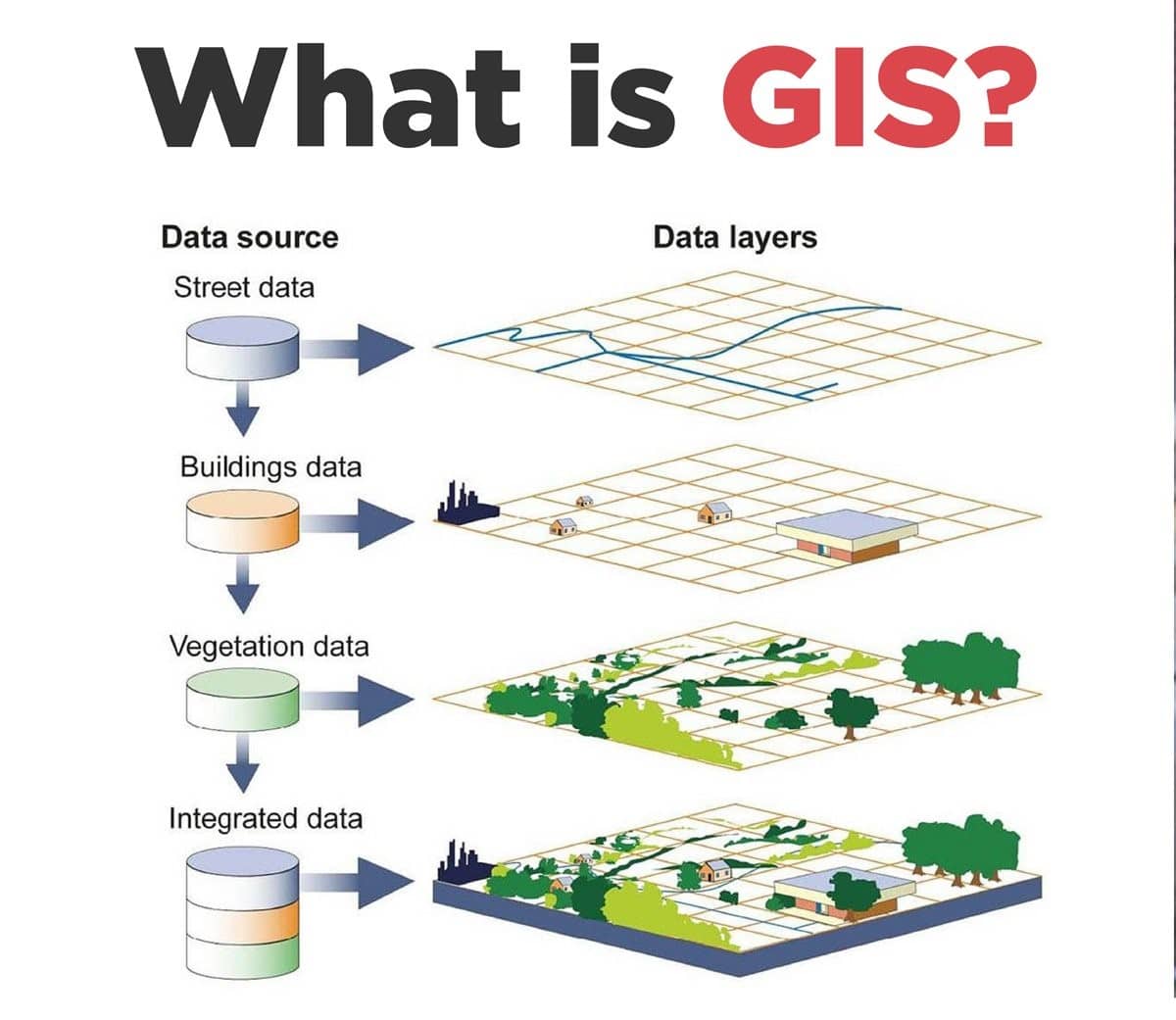
At the center of Mecklenburg County's digital services is an integrated ecosystem that combines deed records, building dimensions, tax assessments, environmental overlays, and municipal zoning into a unified interface. Understanding how to navigate these mapping applications can save you hours of research and thousands of dollars in due diligence.
What Is Mecklenburg County GIS and POLARIS?
Mecklenburg County GIS operates the technical infrastructure behind the region's geospatial data. Serving Charlotte as well as the surrounding towns of Matthews, Pineville, Mint Hill, Huntersville, Cornelius, and Davidson, the department maintains accurate spatial representations of more than 400,000 tax parcels.
The flagship application powered by this department is POLARIS (Property Ownership Land Records Information System). POLARIS has evolved over several generations into a responsive web application designed for both desktop and mobile devices. It connects the county's spatial mapping layers directly to the Mecklenburg County Register of Deeds and County Assessor databases.
Key Features of the Meck GIS Platform
Rather than relying on fragmented public registries, users can evaluate multiple property dimensions from a single screen. The primary layers and tools include:
- Property Boundaries and Parcel Dimensions: View surveyed property lines, lot acreage, and precise layout geometry across Mecklenburg County.
- Assessed Values and Tax History: Access current building and land valuations, past revaluation records, and historical tax bills.
- Deed and Transfer Links: Jump straight from an interactive parcel to recorded deed documents, plat maps, and chain-of-title references stored in county registries.
- Zoning and Land Use Designations: Verify local municipal zoning classifications, conditional overlays, and permitted use categories for both Charlotte and surrounding jurisdictions.
- Environmental Overlays: Examine regulated floodways, FEMA flood zones, topographic contours, stormwater catchments, and watershed protection areas.
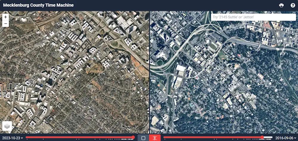
- Historical Aerial Photography: Compare contemporary high-resolution orthophotography with historical flights spanning back several decades to see how land usage has evolved.
How to Search Property Records Using POLARIS
Finding actionable land data using the county's flagship portal takes only a few steps. Follow this workflow to locate property records quickly:
- Navigate to the Portal: Open the official Mecklenburg County POLARIS mapping tool in any modern web browser.
- Choose Your Search Method: Use the search bar in the upper corner. You can look up parcels using three primary criteria: street address, owner name, or the 8-digit Parcel Identification Number (PIN).
- Select the Matching Record: As you type, the auto-suggest engine will present matches. Select the correct parcel to trigger the map camera, which automatically zooms to and highlights the parcel boundaries.
- Review the Property Card: An informational card appears on screen displaying the owner of record, site address, legal description, total heated square footage, and most recent sales price.
- Toggle Additional Layers: Use the layer menu to overlay infrastructure elements, such as water and sewer availability, school boundary zones, or voting precincts.
Accessing Open Data and Spatial Layers
Mecklenburg County GIS offers far more than simple browser-based parcel searches. For urban planners, GIS analysts, real estate developers, and academic researchers, the county operates an Open Mapping platform dedicated to raw data distribution.
Through this open data initiative, users can download spatial datasets in standard formats such as Shapefiles (SHP), GeoJSON, KML, and tabular CSV files. If you manage an external application or internal enterprise GIS, the county also publishes ESRI ArcGIS REST API endpoints. These services allow developers to integrate live parcel boundaries, zoning codes, and street centerlines directly into custom software without manual data downloads.
Available Open Datasets
- Countywide parcel geometries and tax metadata
- Building footprints with height estimates
- Parks, greenways, and public facility locations
- Code enforcement cases and historic landmark districts
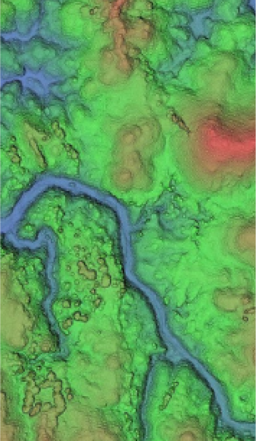
- Digital elevation models (DEM) and LiDAR surface data
Who Benefits from Mecklenburg County GIS?
The accessibility of Mecklenburg's GIS data removes guesswork for many different types of users:
Prospective Homebuyers: A listing agent might highlight an updated kitchen, but GIS reveals whether a home sits inside a 100-year floodplain, where the true fence line belongs, and whether an easement crosses the backyard.
Real Estate Investors and Appraisers: Investors can analyze neighborhoods by looking up recent arm's-length sales, building grade classifications, year-built patterns, and underlying land values across entire blocks.
Engineers and Contractors: Before submitting permits, construction professionals consult the system's topography, storm drainage layers, and municipal boundary markers to confirm jurisdiction and site feasibility.
Residents and Homeowners: Everyday homeowners frequently use the platform to verify their school assignment feeder zones, trace neighborhood park access routes, or review tax assessments ahead of county revaluation appeals.
Pro Tips for Navigating County Maps
To extract the most value from Mecklenburg County's mapping applications, keep these best practices in mind:
- Use the Measure Tool: Instead of guessing setback distances, employ the integrated measurement tool to calculate straight-line distances and square footages directly against the calibrated aerial photography.
- Cross-Check Deeds for Accuracy: While Mecklenburg County maintains exceptionally high data standards, GIS parcel lines represent tax assessment representations rather than legal land surveys. Always cross-reference the digital map with the recorded plat or a licensed boundary survey for legal boundary disputes.
- Inspect Historical Imagery: If you are concerned about prior site disturbances, buried structures, or cleared tree canopies, toggle the historical orthophoto layers to view conditions from previous years.
Final Thoughts
Mecklenburg County's investment in transparent, accessible geospatial tools bridges the gap between public records and practical decision-making. By consolidating real estate metrics, infrastructure footprints, and environmental data into an intuitive interface, POLARIS and the broader GIS ecosystem remain essential tools for anyone living, building, or investing in the Charlotte metropolitan region.