Tampa Bay Marine Forecast: This Week's Outlook
When analyzing the Tampa Bay marine forecast: the unbelievable truth about this week's outlook is that a calm, sunny morning on a general weather app can quickly transform into treacherous open-water conditions. Tampa Bay is Florida's largest open-water estuary, spanning more than 400 square miles. Because of its distinct geography, shallow depth, and complex tidal passes, reading a marine forecast here requires far more than glancing at wind speed and air temperature. If you plan to drop your boat in the water this week, you need to understand the underlying mechanics driving the bay's sea state.

Tampa Bay Marine Forecast: The Unbelievable Truth About This Week's Outlook
The biggest surprise for mariners navigating Tampa Bay this week is how sharply conditions diverge between the morning departure and the afternoon return. Surface conditions often register nearly flat at daybreak, with winds under 5 to 8 knots out of the east. However, as inland Florida heats up by midday, the thermal pressure gradient flips, drawing a stiff westerly sea breeze directly in from the Gulf of Mexico.
This daily atmospheric shift regularly doubles wind speeds to 15 or 20 knots by mid-afternoon. In deep ocean waters, a 15-knot breeze creates rolling swell with gentle periods. In Tampa Bay, where the average depth is only about 12 feet, that same energy cannot disperse downward. Instead, it stacks up into tightly spaced, steep chop that can batter small skiffs, swamp low-gunwale flats boats, and make channel crossings grueling for mid-sized vessels.
Why Tampa Bay Conditions Defy the Standard Gulf Forecast
Many boaters make the mistake of relying on coastal marine forecasts issued for the open Gulf of Mexico from Tarpon Springs to Suwannee River or Englewood to Tarpon Springs out 20 nautical miles. Tampa Bay behaves under its own set of rules governed by three specific local factors:
1. The "Wind Against Tide" Stacking Effect
Tampa Bay exchanges billions of gallons of water during every tidal cycle through a narrow passage bracketed by Egmont Key, Fort De Soto, and Anna Maria Island. When an outgoing ebb tide rushes southwest at 2 to 3 knots directly into an incoming 15-knot westerly sea breeze, the water has nowhere to go but straight up. This collision produces squared-off, standing waves with zero period between crests. Areas around the Sunshine Skyway Bridge, Passage Key Inlet, and Southwest Channel become notoriously rough under these exact conditions, even on days categorized as "moderate."
2. Extreme Bathymetric Contrast
The Tampa Bay shipping channel is maintained at a depth of roughly 43 feet to accommodate commercial tankers, container ships, and cruise liners. Yet just yards outside the channel markers, depths abruptly shelf up to 6 or 8 feet, and eventually into sandbars under 3 feet. When strong chop rolls out of deep water and hits these shallow shoals, wave height compresses and steepens dramatically. Navigating outside the cuts during an afternoon blow can easily ground a vessel or subject the crew to severe hull pounding.
Video: Weekend boating forecast

3. Localized Squall Acceleration
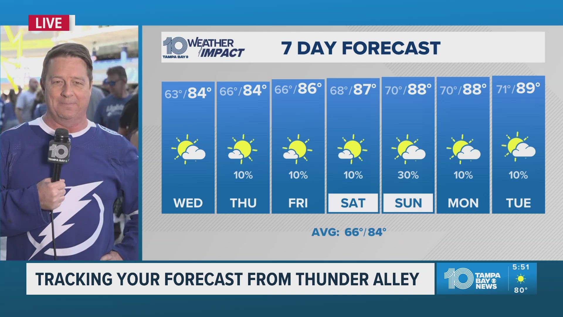
This week's forecast models indicate sustained humidity and unstable air masses over the Florida peninsula. In Tampa Bay, convective thunderstorms often develop inland along the Polk and Hillsborough County borders before tracking west toward the coastline. As these storm cells hit the bay's open water, downburst winds can accelerate from 10 knots to well over 40 knots within three to five minutes, drastically reducing visibility to zero and generating dangerous spray.
Zone-by-Zone Breakdown for This Week's Boaters
Conditions vary significantly depending on which section of the estuary you plan to navigate. Factor these zone-specific profiles into your float plan:
- Lower Tampa Bay (Skyway to Egmont Key): Heavily influenced by open Gulf swells and raw tidal velocity. Expect the roughest water here, especially in the afternoon. Any westerly component in the wind will make Egmont Key's eastern anchorage choppy and uncomfortable.
- Middle Tampa Bay (Between St. Petersburg and Apollo Beach): This wide expanse offers the longest uninterrupted fetch. A sustained easterly or northwesterly wind builds continuous 2- to 3-foot chop across this zone, testing the endurance of center consoles under 22 feet.
- Upper Tampa Bay & Old Tampa Bay: Sheltered somewhat from heavy Gulf swells by the Pinellas peninsula, but highly vulnerable to north and south wind funnels. The Courtney Campbell Causeway and Gandy Bridge create narrow choke points where wind and current accelerate rapidly.
- Hillsborough Bay: Commercial traffic is dense here. Combine industrial tug wakes with localized chop, and waters around Port Tampa and Davis Islands can turn chaotic quickly.
Essential Data Sources to Check Before Leaving the Dock
Never rely on a single smartphone weather app when planning a trip across Tampa Bay. Professional captains cross-reference several real-time instruments:
- NOAA Physical Oceanographic Real-Time System (PORTS): Tampa Bay was the testing ground for this system. Check real-time water levels, water currents at the Skyway, and atmospheric pressure directly from localized sensors stationed throughout the shipping channel.
- Middle Tampa Bay Buoy (NOAA Station 42098): Provides accurate water temperature, wind gust velocity, and wave steepness right in the open expanse of the bay.
- High-Resolution Rapid Refresh (HRRR) Radar Models: Look at simulated radar runs four to six hours out to identify precisely when afternoon convective boundaries are scheduled to fire over the water.
- Tide Tables Adjusted for Wind Push: A sustained 15-knot north or northeast wind will blow water out of the bay, turning a predicted +0.5-foot low tide into a negative tide that leaves channels impassable and docks high and dry.
Practical Safety Checklist for This Week
To ensure a safe and successful outing, align your itinerary with the physical realities of the forecast:
- Run Early: Plan long open-bay crossings between 07:00 and 11:00 to capitalize on the morning calm before the thermal sea breeze establishes itself.
- Inspect Bilge Pumps: The rapid chop of Tampa Bay frequently throws green water over the bow or gunwales of smaller vessels. Test automatic float switches before slipping your lines.
- Give Commercial Vessels Space: Ships in the Tampa Bay shipping channel travel at deceptive speeds and cannot stop or maneuver quickly. In heavy chop, their wake can combine with natural waves to swamp smaller craft.
- Monitor VHF Channel 16: Keep your marine radio tuned to Coast Guard Sector St. Petersburg for urgent marine information broadcasts, squall warnings, and navigation hazards.
By respecting the unique hydrodynamics of Tampa Bay and planning around shifting winds and tidal flows, you can avoid unexpected hazards and make the most of your time on the water this week.