Weather Radar McAllen TX: Track Rio Grande Valley Storms
Understanding Weather Patterns in South Texas
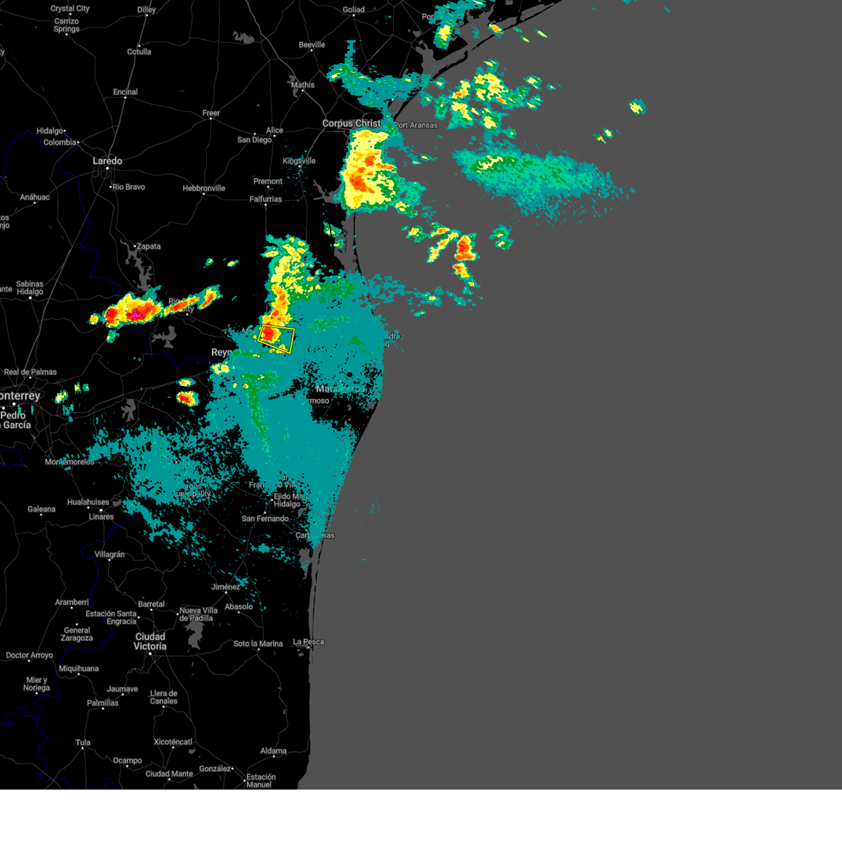
McAllen, Texas, sits in the vibrant and geographically unique Rio Grande Valley. Weather here is heavily influenced by proximity to the Gulf of Mexico, the subtropics, and the sprawling terrain of Northern Mexico. This combination creates a dynamic climate where sunny, humid days can quickly transform into severe thunderstorms, squall lines, and occasionally tropical weather systems during hurricane season.
Because storms can form rapidly and drop heavy rainfall in short periods, monitoring real-time atmospheric conditions is essential for residents and visitors alike. Whether you are planning a weekend event, managing a farm, or simply commuting across Hidalgo County, relying on accurate meteorological data keeps you safe and prepared.
How Weather Radar McAllen TX Works
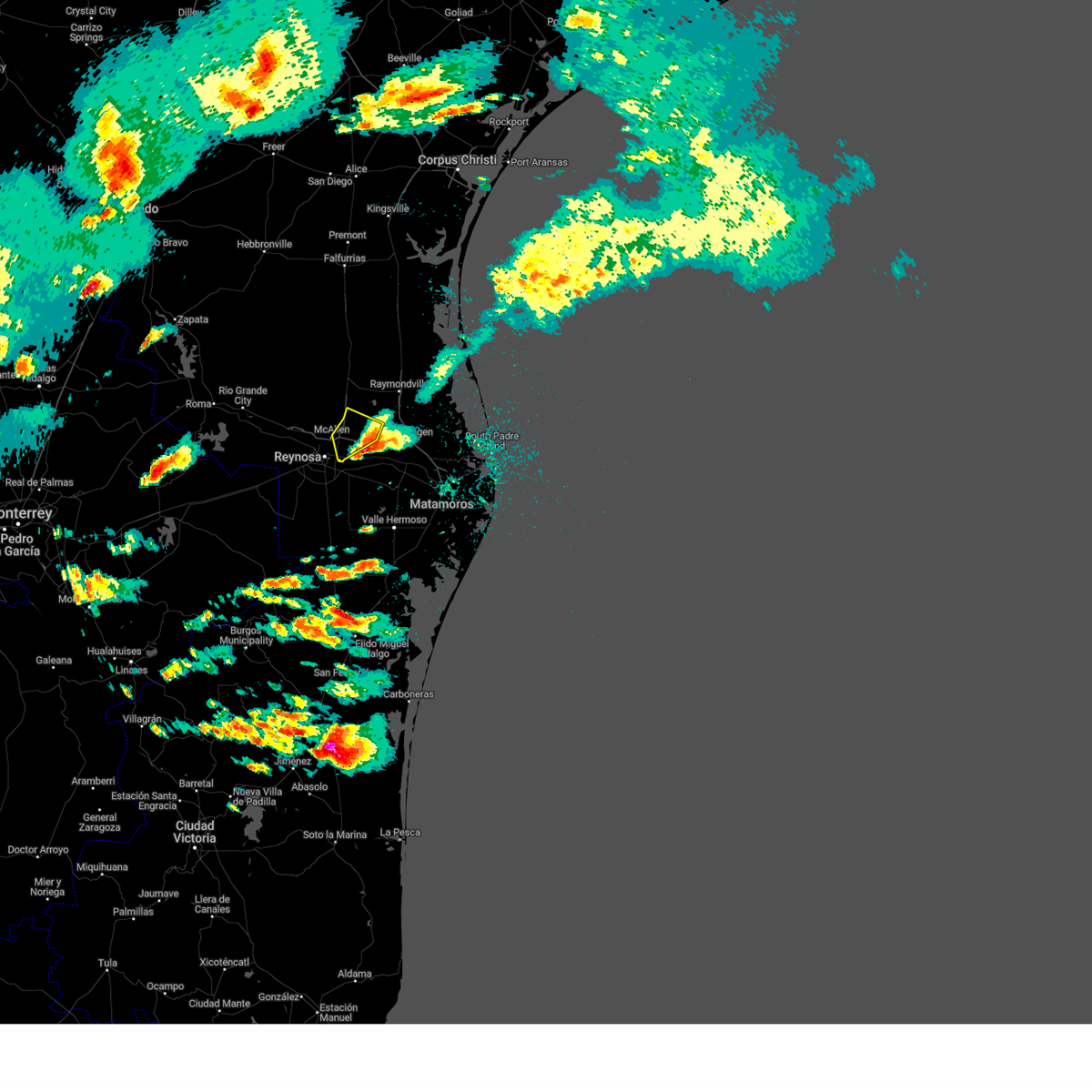
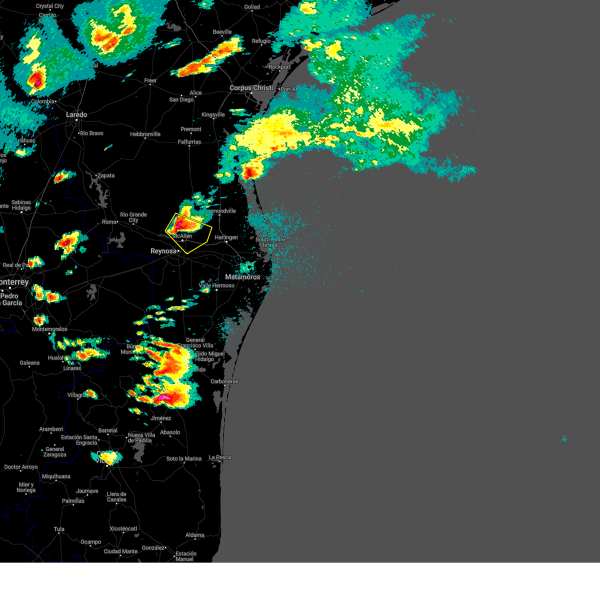
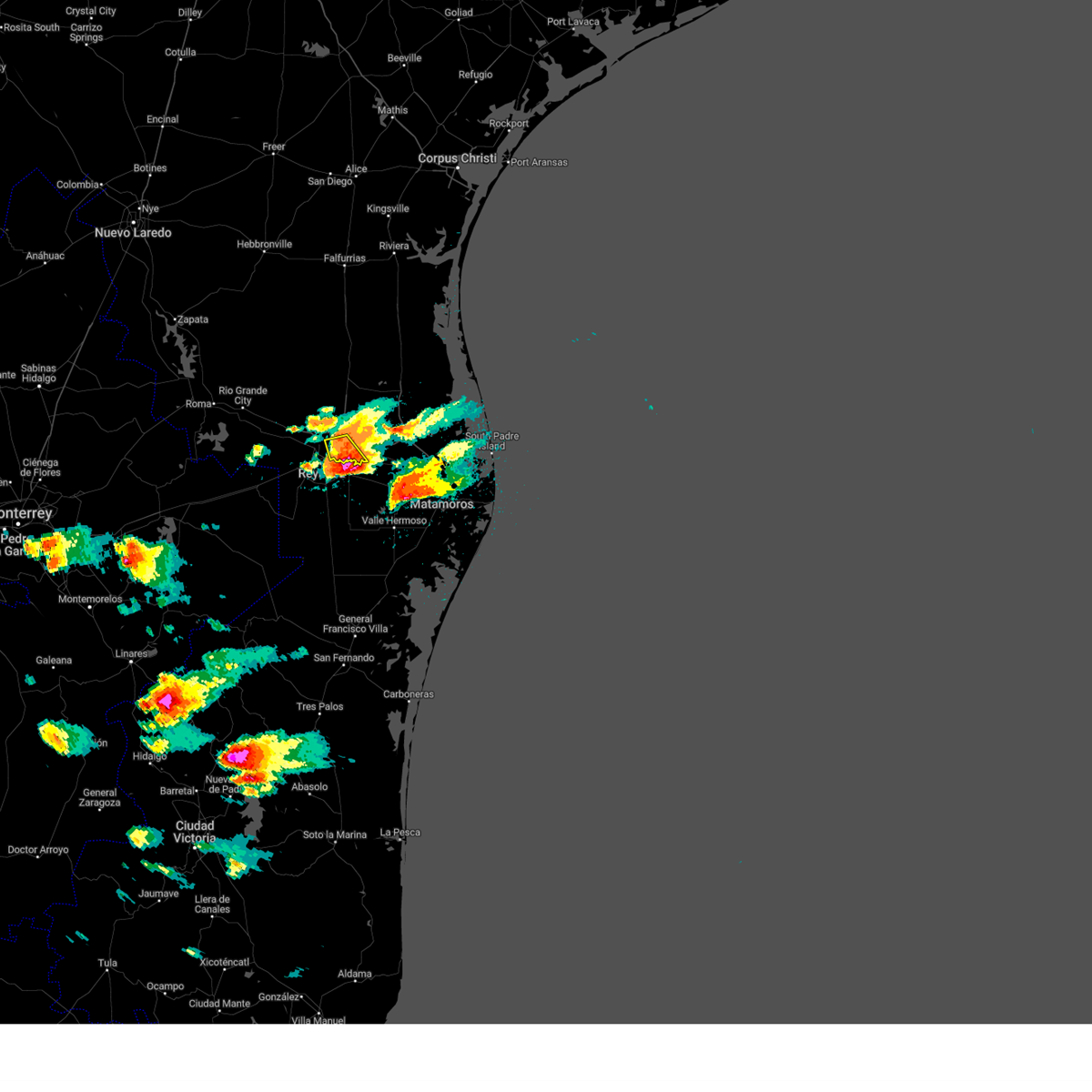
When locals search for weather radar McAllen TX, they are looking for immediate visual data on precipitation, wind patterns, and storm intensity. Meteorological radar networks use radio waves to detect raindrops, hail, and snow. By sending out pulses of energy and measuring how long they take to bounce back off moisture particles, radar systems create a live map of what is falling from the sky.
The Brownsville NEXRAD Station (KBRO)
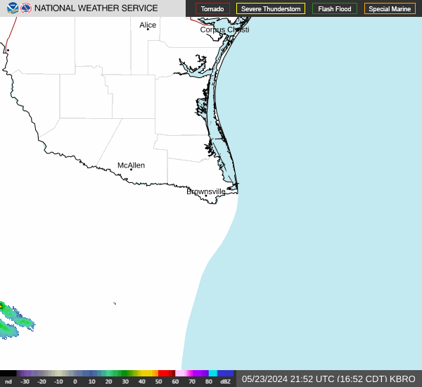
McAllen does not have its own standalone radar tower directly within city limits. Instead, the region is primarily covered by the National Weather Service (NWS) NEXRAD radar station located in nearby Brownsville, designated as KBRO. Additional overlapping coverage comes from surrounding Texas radar sites. The KBRO radar provides high-resolution Doppler data, allowing meteorologists to see not only where it is raining, but also how fast and in what direction the wind and storm cells are moving.
Key Features to Look For in a Radar Map
Interpreting a live radar loop effectively requires understanding the standard color codes and data layers used by meteorologists. When viewing a digital radar feed for McAllen, keep the following elements in mind:
- Reflectivity (Base Reflectivity): Measured in decibels (dBZ), this shows the intensity of precipitation. Lighter green colors indicate light rain, while yellows, oranges, and reds represent heavy downpours, gusty winds, and potential hail. Magenta indicates extreme, severe weather.
- Velocity (Storm Relative Velocity): This layer detects wind movement toward or away from the radar dish. It is crucial for spotting rotation within a thunderstorm, which can indicate developing tornadoes or damaging straight-line winds.
- Accumulation Products: These maps show how much rain has fallen over the past hour, day, or week. This is particularly useful in McAllen during slow-moving tropical systems that can cause localized street flooding.
Severe Weather Risks in the Rio Grande Valley
While McAllen is famous for its warm winters and bright sunshine, the region faces distinct seasonal weather hazards. Knowing what to look for on your radar screen helps you respond appropriately when watches and warnings are issued.

Spring and Summer Thunderstorms
As moisture pushes inland from the Gulf of Mexico, daytime heating triggers popcorn thunderstorms that can quickly organize into severe clusters. These storms often bring frequent cloud-to-ground lightning, localized flash flooding, and gusty winds known locally as microbursts.
Tropical Storms and Hurricanes
Running from June through November, the Atlantic hurricane season poses a direct threat to South Texas. Even if a hurricane makes landfall further south along the Mexican coastline or further up the Texas coast, the outer rainbands can stall over Hidalgo County. Tracking these massive systems requires monitoring regional wide-angle radar loops rather than just local neighborhood views.
Extreme Heat and Drought
While radar is primarily designed to track precipitation, summer in McAllen often brings intense heat domes. When dry patterns persist, radar remains useful for monitoring drylines—boundaries where moist Gulf air meets dry air from the Mexican plateau, sometimes sparking sudden evening dry-lightning storms.
Best Practices for Staying Weather-Aware
Technology has made it easier than ever to monitor the skies in real time. To ensure you never get caught off guard by a sudden South Texas downpour, follow these practical steps:
- Enable Wireless Emergency Alerts: Keep government alerts turned on for your smartphone so you receive immediate, tone-activated warnings for flash floods or severe thunderstorms in Hidalgo County.
- Bookmark Reliable Sources: Rely on trusted meteorological outlets such as the National Weather Service office in Brownsville (weather.gov/bro) for official warnings and damage surveys.
- Watch the Loop, Not Just the Snapshot: When viewing radar, always play the animation loop for the past 30 minutes. This reveals the true trajectory and speed of an approaching storm system.
- Have Multiple Alert Channels: Do not rely solely on outdoor sirens or one app. Use a weather radio with battery backup alongside your mobile device.
Conclusion
Staying informed about shifting atmospheric conditions in South Texas doesn't have to be complicated. By understanding how regional radar networks cover Hidalgo County and knowing how to read precipitation intensity, you can keep yourself and your family safe. Whenever threatening skies develop overhead, check the latest live loops to make confident, weather-wise decisions.