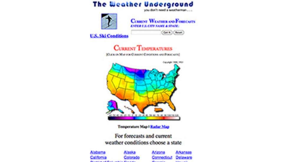
Weather Underground New Paltz: Forecast Guide
Planning a hike up Bonticou Crag, a stroll through the Historic Huguenot Street, or a weekend getaway in the Hudson Valley requires accurate meteorological data. When traditional weather apps fall short due to the unique topography of the Shawangunk Ridge, locals and visitors turn to Weather Underground New Paltz forecasts to get a precise, hyper-local picture of conditions on the ground.

Unlike standard weather services that rely on a single regional airport station—such as Stewart International in Newburgh or Poughkeepsie—Weather Underground utilizes a crowdsourced network of Personal Weather Stations (PWS). This architecture makes it an invaluable tool for understanding microclimates in and around New Paltz, New York.
Understanding New Paltz's Unique Microclimates
New Paltz sits in a geographical bowl bordered by the Wallkill River to the west and the towering cliffs of the Shawangunk Mountains (locally known as the 'Gunks') rising dramatically just beyond the town. This terrain creates distinct microclimates that standard forecasting models often miss.
A storm system might stall against the ridge, dumping heavy rain on the climbing routes while leaving the State University of New York (SUNY) New Paltz campus dry and breezy. Conversely, cold air drainage from the mountains can cause valley temperatures to plummet well below predicted overnight lows. Relying on a broad county-level forecast simply isn't enough for outdoor enthusiasts, farmers, and event planners in the area.
How Weather Underground New Paltz Works
Weather Underground (WU) operates differently than traditional meteorology outlets by integrating data from thousands of privately owned weather stations. In the New Paltz zip code (12561) and surrounding towns like Gardiner, Rosendale, and Modena, dozens of amateur and professional weather enthusiasts host certified stations.
These stations constantly stream live metrics to the WU platform:
- Ambient temperature and relative humidity
- Barometric pressure trends
- Wind speed and directional gusts
- Precipitation rates and daily accumulation totals
- Solar radiation and UV index
By clicking on the interactive map for New Paltz on the Weather Underground platform, users can bypass the generalized town forecast and click directly on the station closest to their exact location—whether that is downtown near Main Street or up near the Mountain Rest road trailheads.
Key Features for Local Outdoor Enthusiasts
Whether you are a rock climber scaling the Trapps, a cyclist tackling Route 44/55, or a student walking between classes, several features make the platform particularly useful.

Hyper-Local Radar and Satellite Tracking
The interactive NEXRAD radar overlay allows users to track precipitation in real time. Because rain cells often move down the Hudson Valley or track along the spine of the Catskills and Shawangunks, watching the precise vector of a storm can help you decide whether to launch your outdoor activity or seek shelter in a local cafe.
The Smart Forecast (Wunderground Planner)
The historical database behind the station network powers the 'Trip Planner' and smart forecast tools. If you are planning an outdoor wedding at a local Hudson Valley venue or a camping trip months in advance, you can analyze historical averages for New Paltz on specific calendar dates, factoring in temperature ranges and probability of precipitation.
Air Quality and Pollen Tracking
The Hudson Valley is notorious for seasonal allergies, particularly during tree pollen season in the spring and ragweed season in the late summer. Weather Underground integrates local air quality index (AQI) data and specific allergen counts, helping sensitive individuals plan their outdoor exposure accordingly.
Tips for Getting the Most Accurate Data
To get the best results when checking conditions in the area, keep these practical tips in mind:
- Verify the Station Quality: Not all PWS units are created equal. Look for stations on the map labeled with high 'star' ratings or check their hardware descriptions. Stations mounted on hot asphalt roofs may report artificially inflated temperatures, while those properly sited over natural grass provide true ambient readings.
- Compare Multiple Points: If you are heading up into the mountains, check a station located at a higher elevation (closer to the ridge) alongside a valley station to anticipate temperature drops and wind shear.
- Use the Mobile App for Alerts: Enable severe weather push notifications in the app to receive real-time warnings about sudden convective storms rolling off the Catskills into Ulster County.
Conclusion
Mastering the use of Weather Underground New Paltz data ensures you are never caught unprepared by the Hudson Valley's famously fickle skies. By leveraging crowdsourced personal weather stations, you gain access to the kind of hyper-local precision that traditional apps simply cannot match, keeping you safe and comfortable whatever your plans entail.