Weather Underground Portsmouth: Hyperlocal Guide
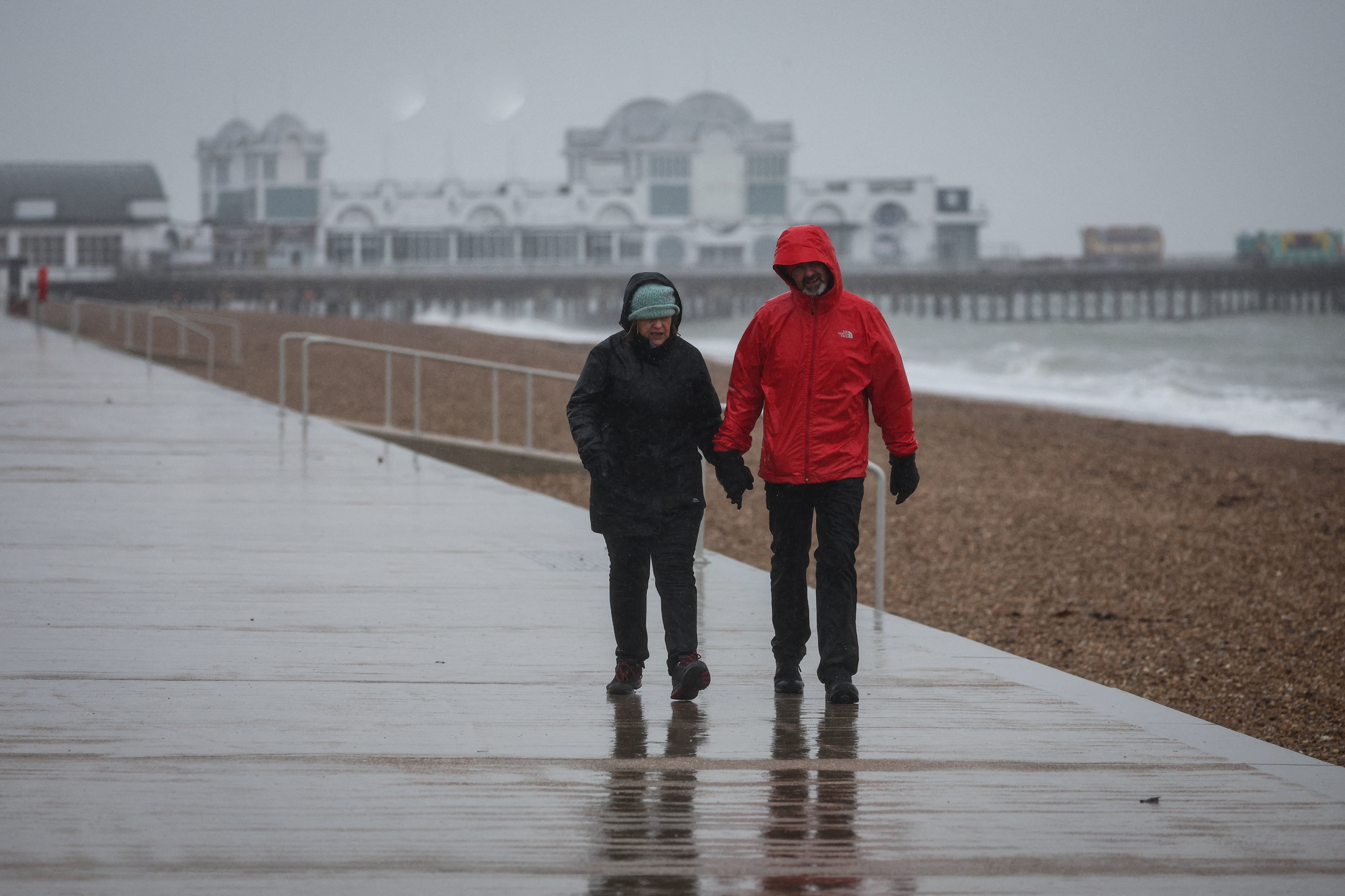
When planning a day near the water, standard citywide forecasts often fall short. Searching for weather underground portsmouth connects you to a decentralized network of real-time neighborhood sensors that capture the dramatic microclimates of coastal Portsmouth. Whether you are navigating maritime winds near the harbor, timing an afternoon commute, or monitoring an incoming coastal storm, hyper-local data provides the precision that broad regional models routinely miss.
The Power of Personal Weather Stations (PWS)
Most mainstream weather apps rely on airport weather stations—such as Portsmouth International Airport at Pease (KPSM)—or large-scale numerical models. While these official stations use high-grade, calibrated instruments, an inland airstrip three to five miles from the shoreline does not experience the same weather as Market Square, the South End, or coastal inlets.
Weather Underground solves this gap through its global Personal Weather Station (PWS) network. Enthusiasts, schools, marinas, and local businesses install certified hardware (such as Davis Vantage Pro2 or Ambient Weather stations) on their properties. These units upload live readings every few seconds, generating a high-density temperature, wind, and precipitation map across Portsmouth’s varied terrain.
Getting the Most from Weather Underground Portsmouth
To pull reliable insights from Weather Underground rather than just glancing at a generic temperature icon, you need to understand how to navigate the platform’s distinct tools.
1. Pick the Right Neighborhood Station
Do not simply default to the first station the algorithm selects. Look at the Wundermap feature to see the geographic spread of active stations across Portsmouth. Depending on your plans, choose a station that mirrors your exact environment:
- Harbor and Marine Activities: Select a station situated directly on the Piscataqua River or near the coast to monitor actual marine gusts and salt-air humidity.
- Downtown Walkability: Urban canyoning, brick buildings, and asphalt absorb heat, frequently keeping downtown Portsmouth two to four degrees warmer than surrounding residential areas.
- Inland Suburbs: If you live further out toward Greenland or Rye, select an inland station sheltered from immediate shoreline sea breezes.
2. Check Station Health and Consistency
Because anyone can host a PWS, occasionally an individual sensor may malfunction or sit in a compromised location (such as directly above a black asphalt roof or in the dead calm of an enclosed courtyard). Compare your chosen station against two neighboring stations. If one reports 78°F while adjacent stations report 71°F, the outlier is likely suffering from radiant heat bias.
3. Use Wundermap for Dynamic Boundary Tracking
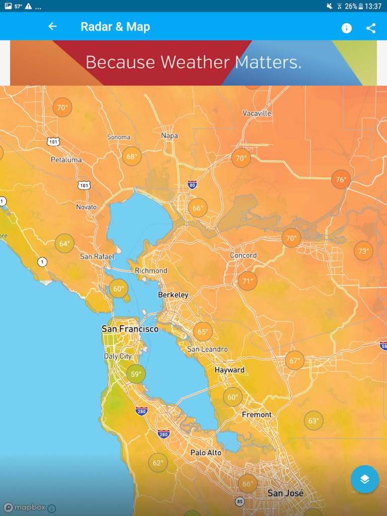
The interactive Wundermap is Weather Underground's most valuable asset. Turn on layers for radar, wind stream vectors, and dew point. In coastal regions, you can watch the marine boundary layer advance inland during spring and summer afternoons, pinpointing precisely when the ocean air will drop the local temperature.
Portsmouth Coastal Microclimates: What the Data Shows
Portsmouth experiences severe seasonal variability shaped by the Gulf of Maine, local estuaries, and continental air masses. Hyper-local observation tools reveal specific microclimatic patterns unique to this geography.
The Afternoon Sea Breeze Front
During late spring and summer, inland areas can heat up into the mid-80s, creating low pressure over land. Cold ocean water (which often hovers in the 50s and low 60s) creates a dense marine layer. By early afternoon, an onshore sea breeze cuts inland. A station located a block from the river may plunge from 82°F to 68°F in under twenty minutes, while an inland airport station remains hot. Weather Underground allows you to see this front move street by street.
Winter Rain-Snow Lines
Nor'easters bring complex thermal profiles. The ocean acts as a massive thermal buffer, often keeping the immediate shoreline just above freezing (33°F–35°F), resulting in heavy, wet rain or slush. Meanwhile, two miles inland, the temperature sits at 31°F, turning the precipitation into heavy snow. Checking neighborhood-level stations during a winter storm clarifies road conditions and helps homeowners anticipate whether they are shoveling light powder or back-breaking slush.
Coastal Fog and Inversions
When warm, moist air rides over cold ocean currents, dense sea fog rolls through Portsmouth Harbor. A PWS near the waterfront will show 100% relative humidity, light onshore drift, and dropped visibility, while neighborhoods just past the highway remain bathed in sunlight.
Key Weather Metrics Boaters and Commuters Should Monitor
Looking only at temperature and daily high/low forecasts leaves out the metrics that dictate daily comfort and safety:
- Dew Point: Relative humidity changes with temperature, but dew point measures the absolute amount of moisture in the air. A dew point above 65°F feels sticky; above 70°F feels oppressive. In winter, an extremely low dew point warns of rapid evaporative cooling during incoming precipitation.
- Wind Gust vs. Sustained Wind: Coastal winds are rarely constant. Weather Underground stations report peak gusts over short intervals, giving boaters, kayakers, and cyclists a realistic view of conditions on exposed bridges and waterways.
- Barometric Pressure Trend: Watching the barometric trend arrow is the fastest way to confirm an approaching front. A steady pressure drop exceeding 2 millibars per hour typically signals strong incoming wind and rapid weather deterioration.
- Precipitation Rate: Instead of checking daily totals, monitor the current rainfall rate (inches per hour) to gauge stormwater runoff and local urban pooling.
Pairing Weather Underground with Official Forecasts
While Weather Underground excels at real-time and hyper-local observation, it should complement—not replace—synoptic guidance from government agencies like the National Weather Service (NWS). Personal weather stations do not issue official gale warnings, flood watches, or severe thunderstorm alerts.
The most effective strategy is simple: consult official meteorological agencies for the broader synoptic setup and warning products over the next 48 to 72 hours, then open Weather Underground for real-time tactical decisions. By observing the network of stations across Portsmouth, you can track the exact arrival of cold fronts, see the real impact of ocean winds, and stay ahead of rapidly changing coastal weather.